


Fig. 43. May’s Mine scene. 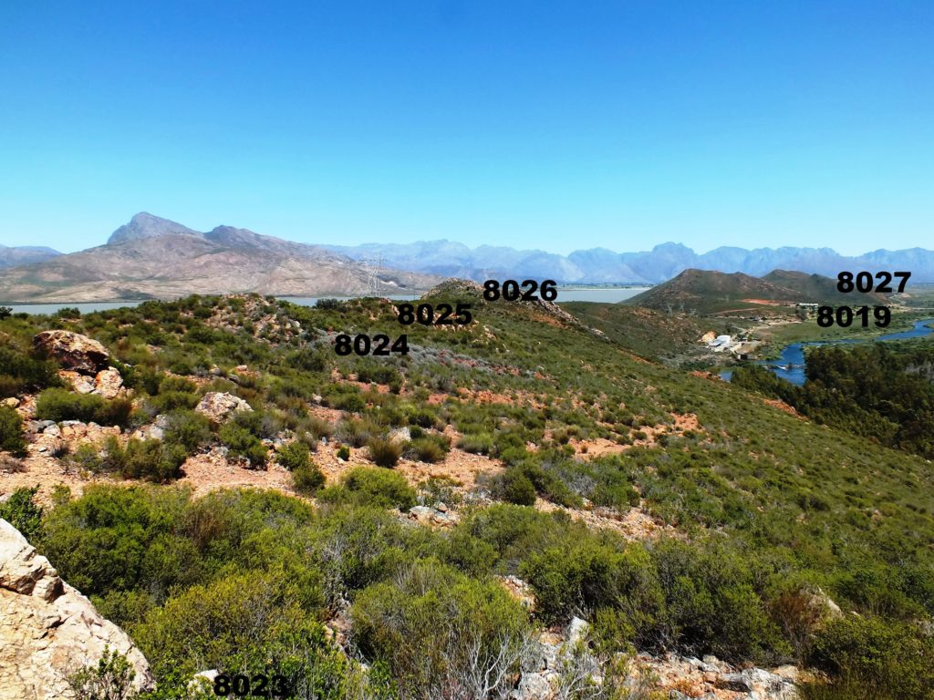
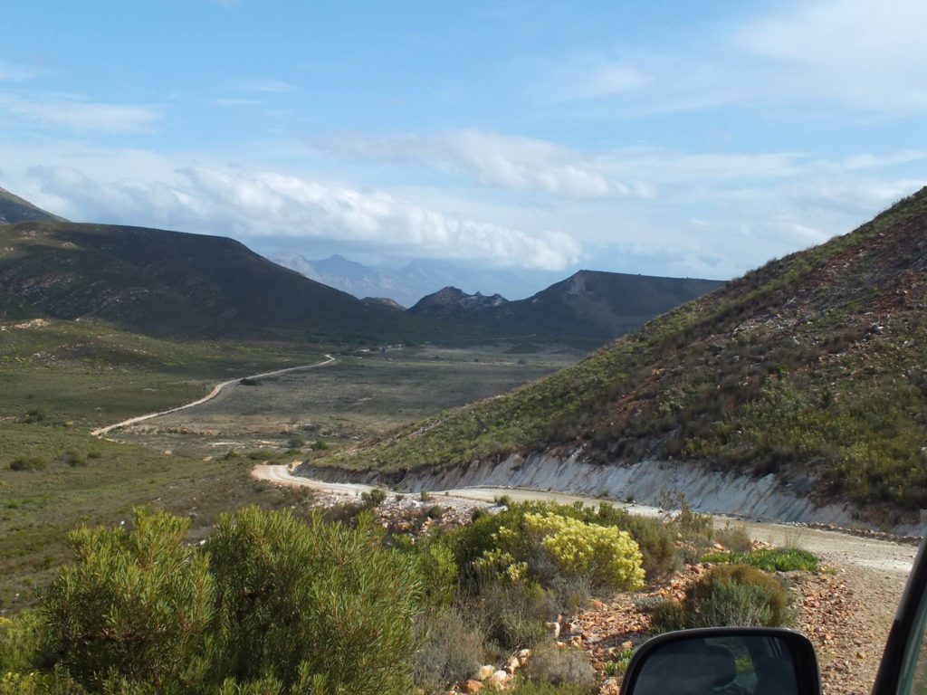
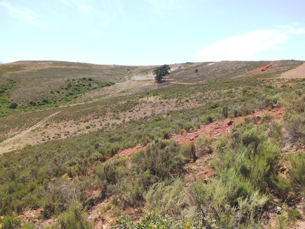
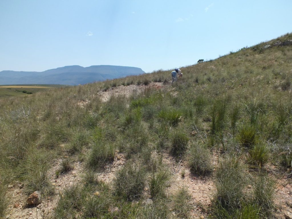
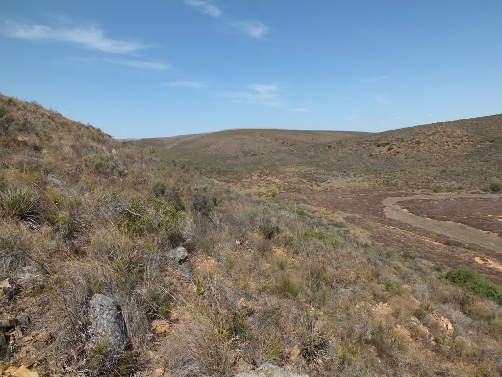
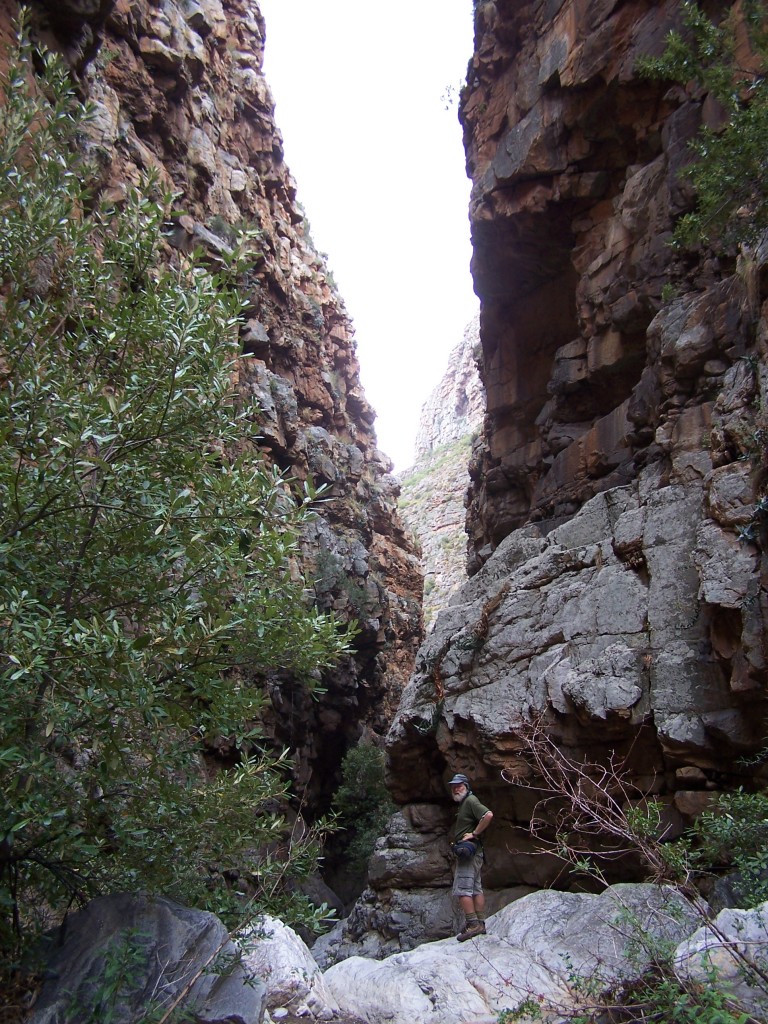
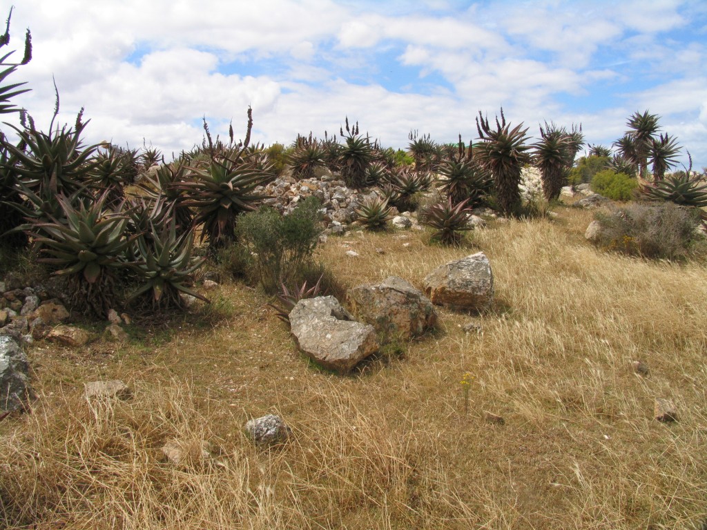
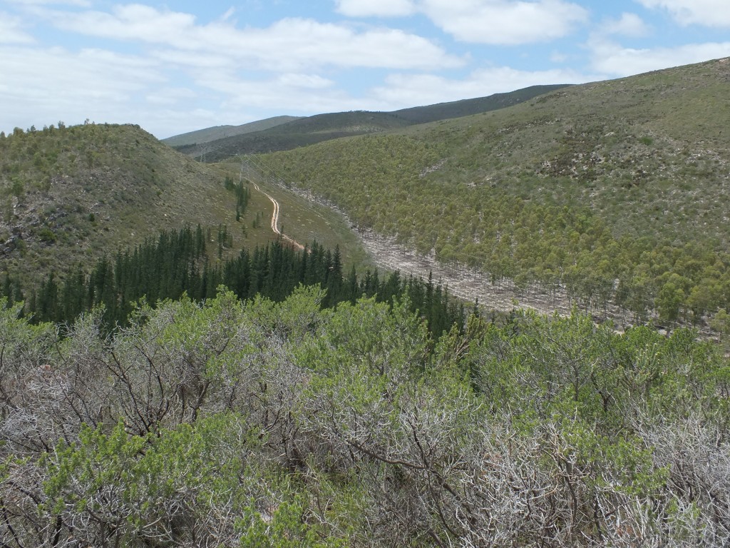
View further into Buitenstekloof 
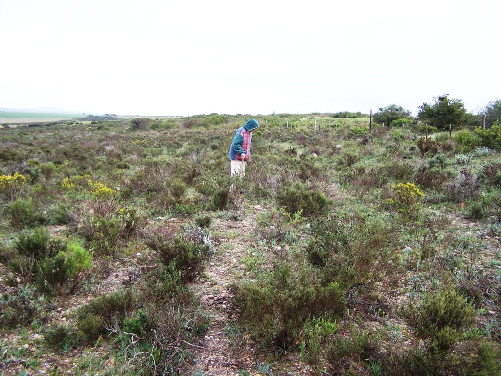
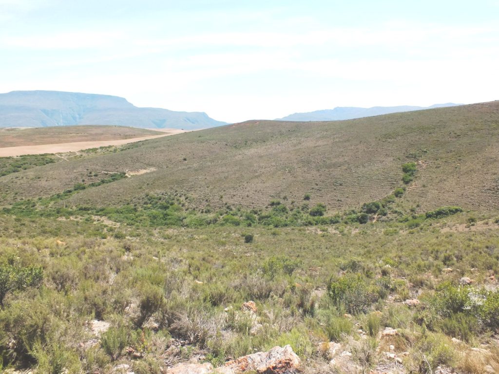
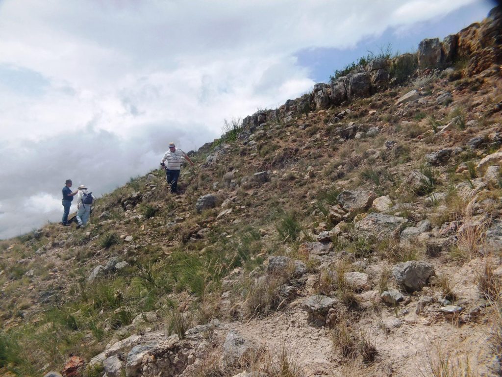
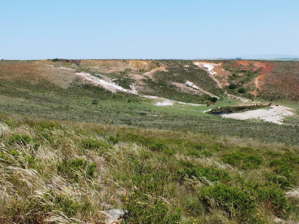
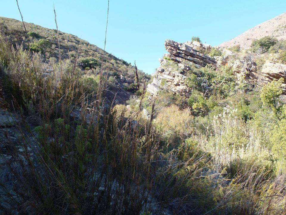
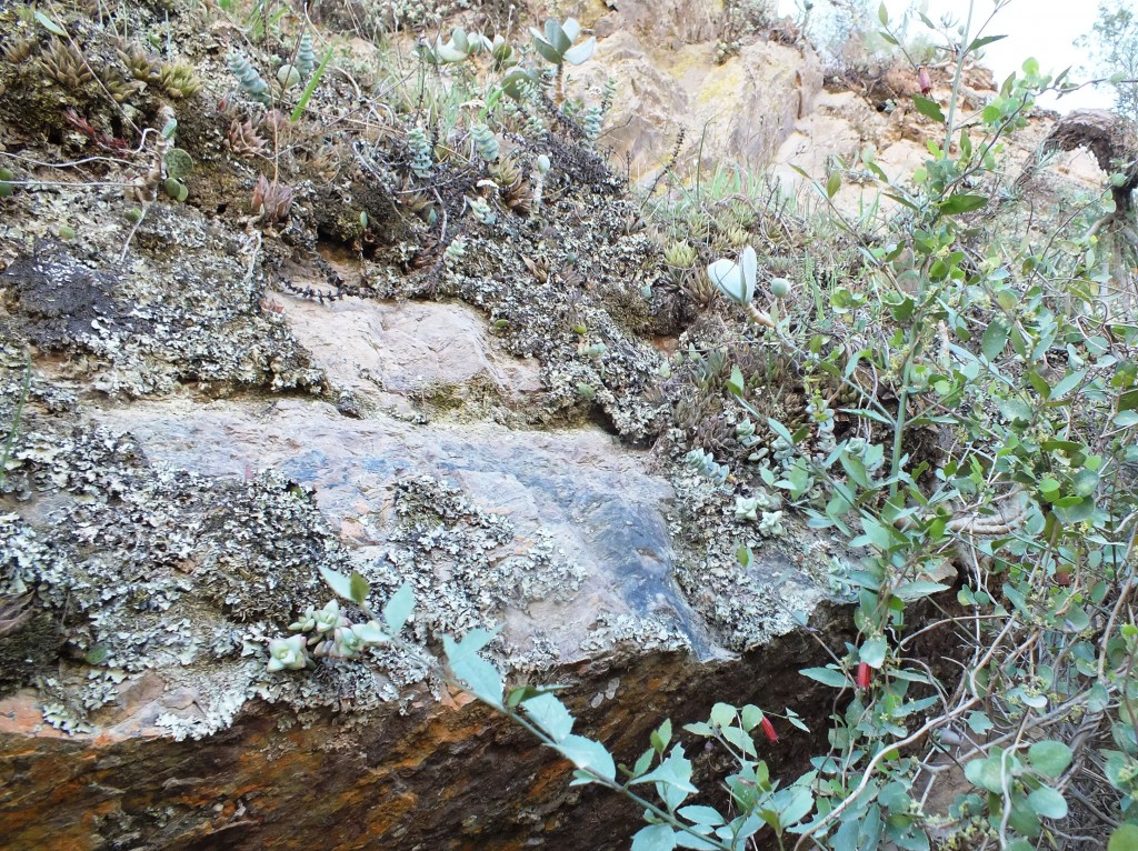
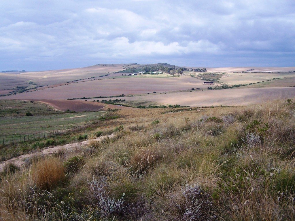
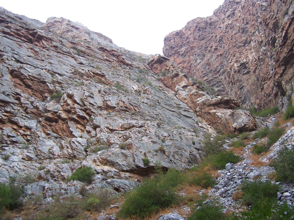
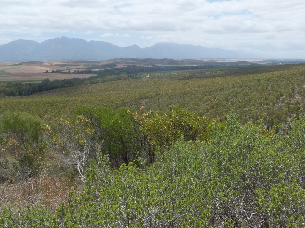
Habitat at Buitenstekloof 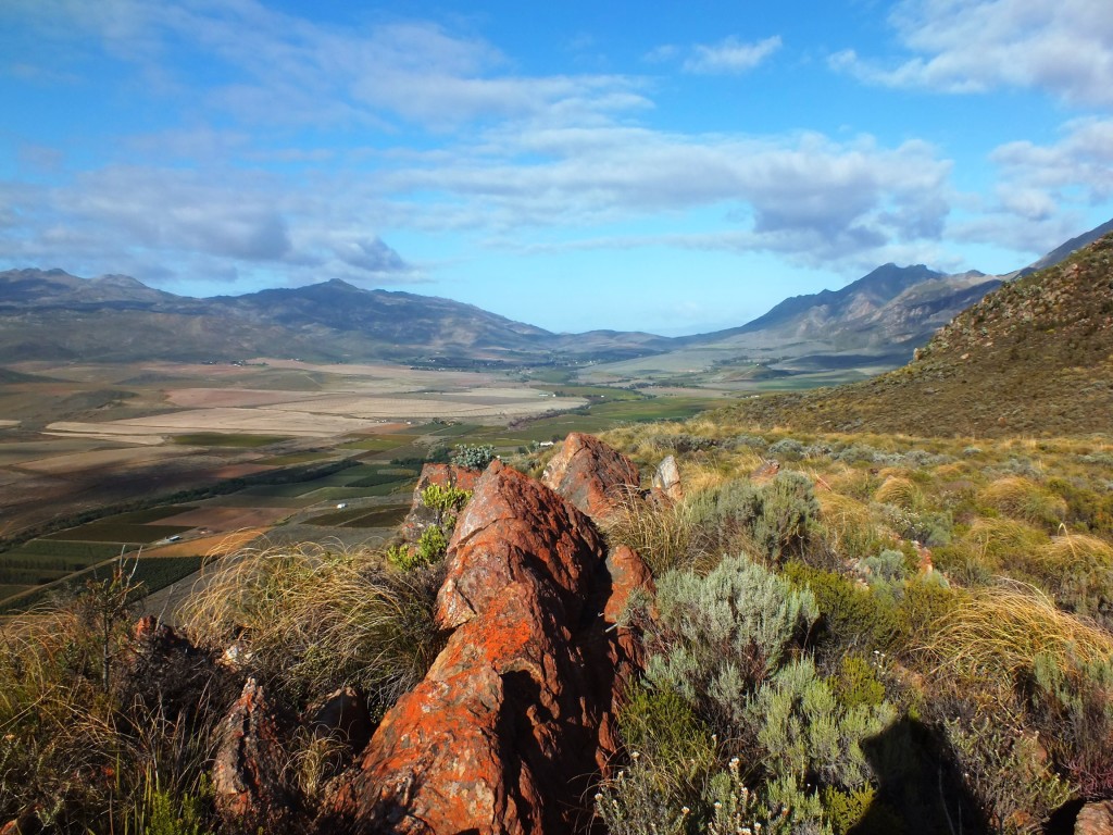
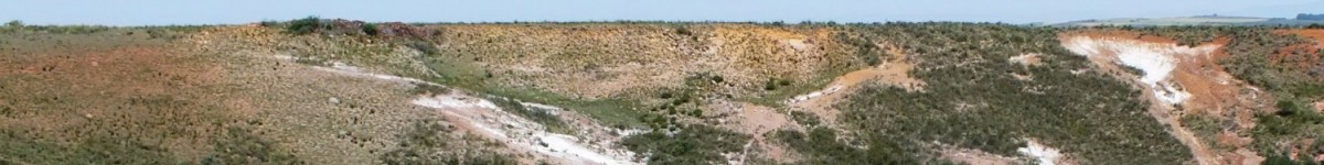
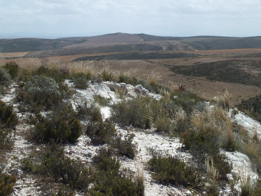
Ouhoekberg view to south. 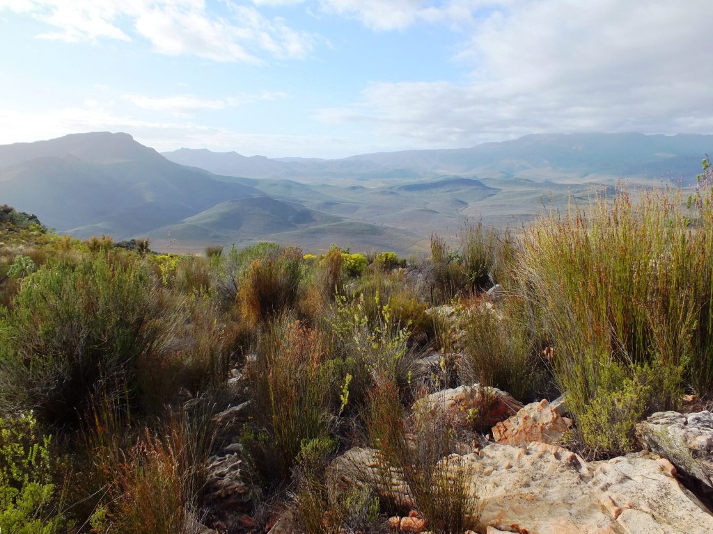
Ouhoekberg view to east. 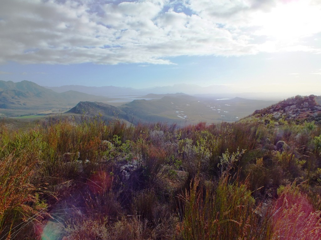
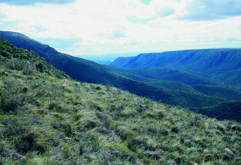
Ouhoekberg view to north. 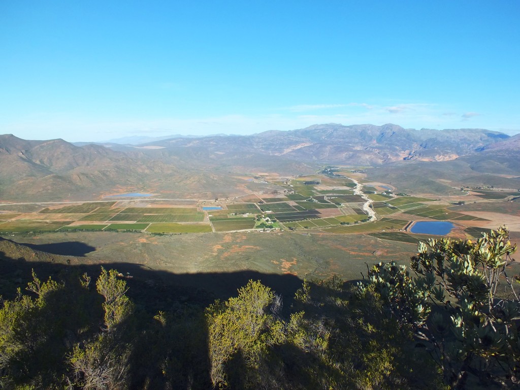
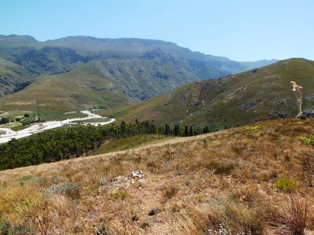
view Hammnsberg to the southeast 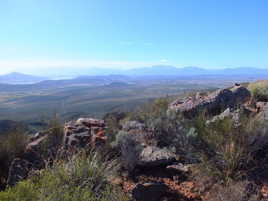
view from Hammansberg northwards 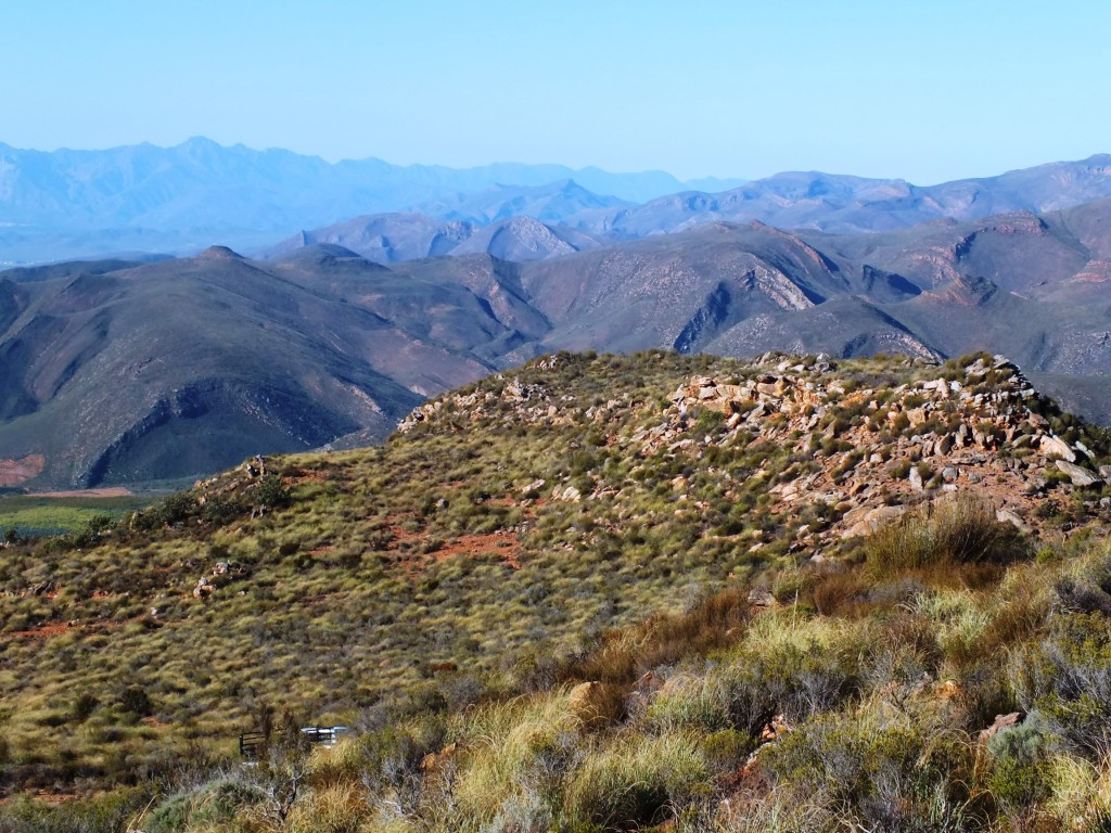
view from Hammansberg eastwards 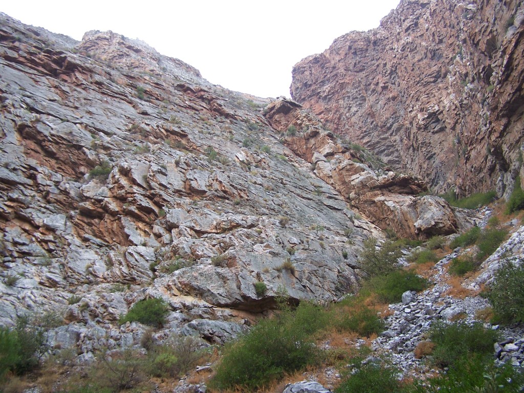
7865 H. cf. arachnoidea. Keurkloof, SE Dedooorns 005 
7865 H. cf. arachnoidea. Keurkloof, SE Dedooorns 006 
H. cf. arachnoidea. Keurkloof, SE Dedooorns 008 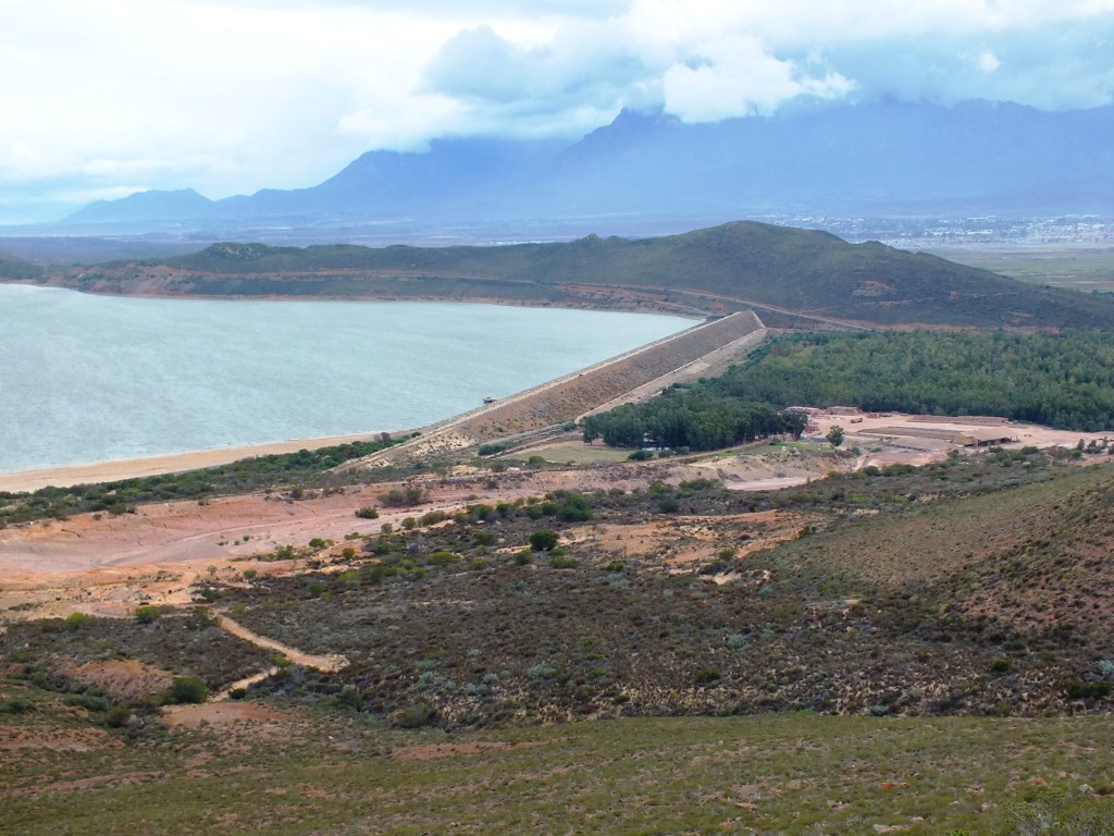
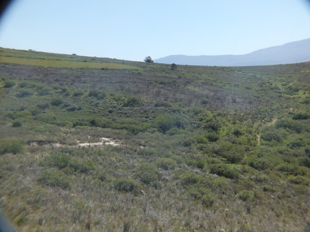
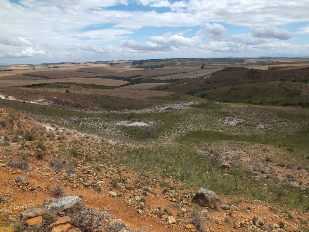
7995 Habitat looking northwards 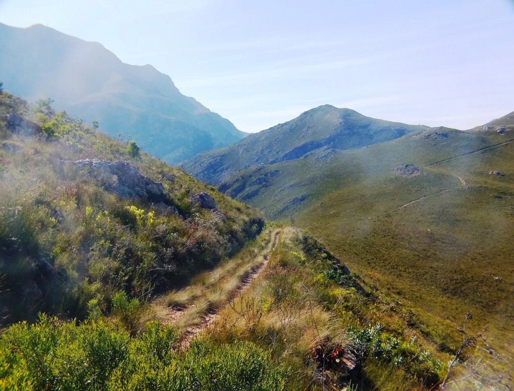
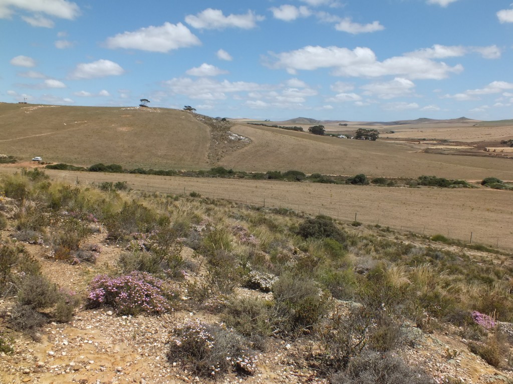
View 4 looking northeast from within hiking trail 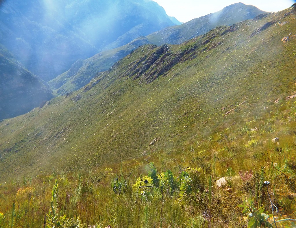
View 3 looking northeast from within hiking trail 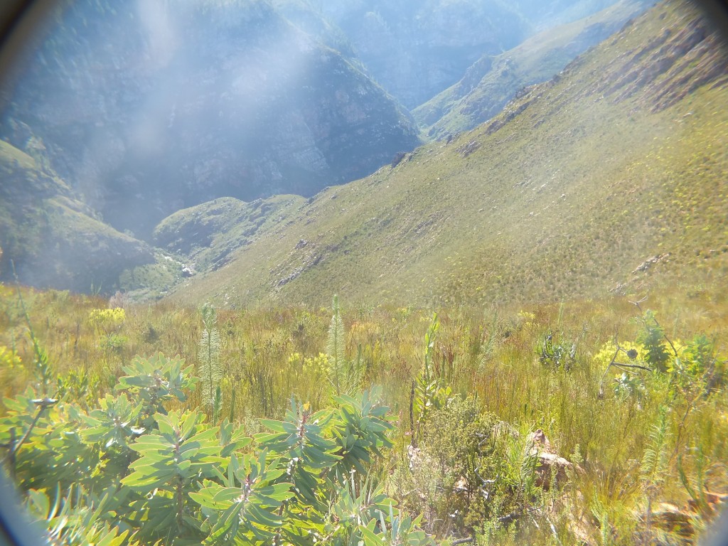
View 2 looking northeast from within hiking trail 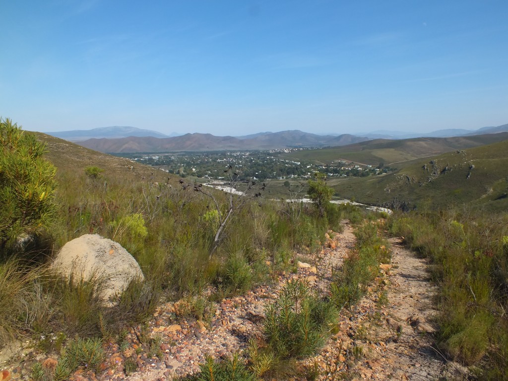
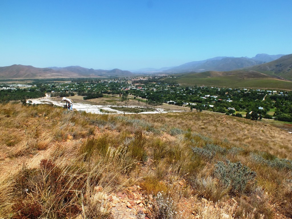
View 1 over Greyton from the northeast 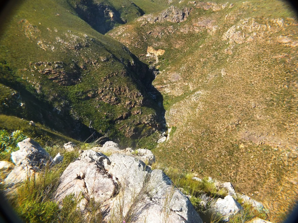
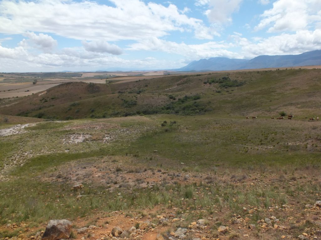
8053 looking at Rooivlei 
8045 view looking west of north 
8050 general environment 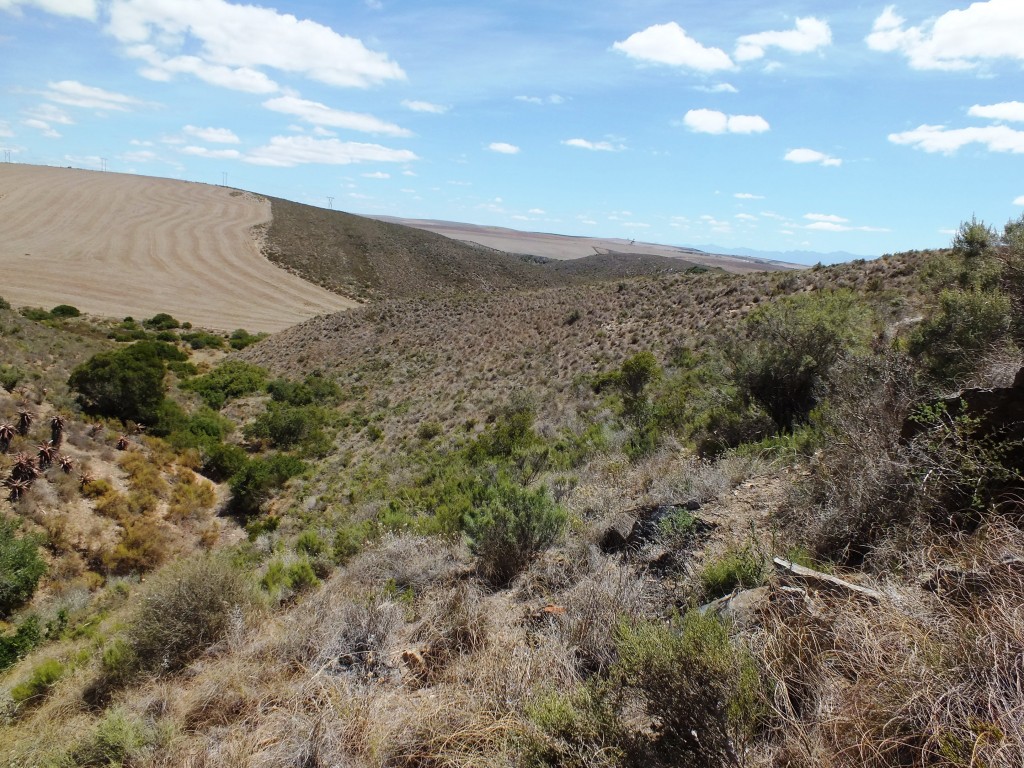
8048 view looking north 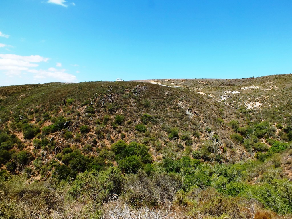
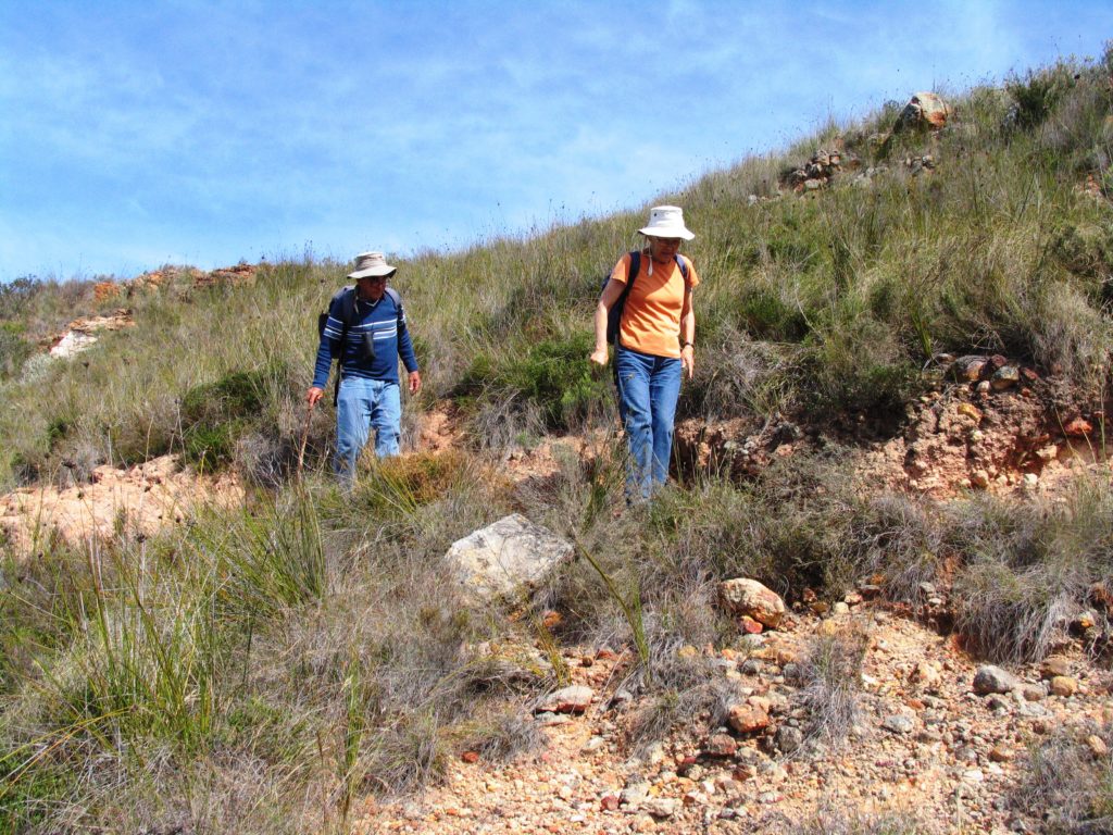
KG36-70 habitat viewed from the west. 
KG36-70 looking northwards 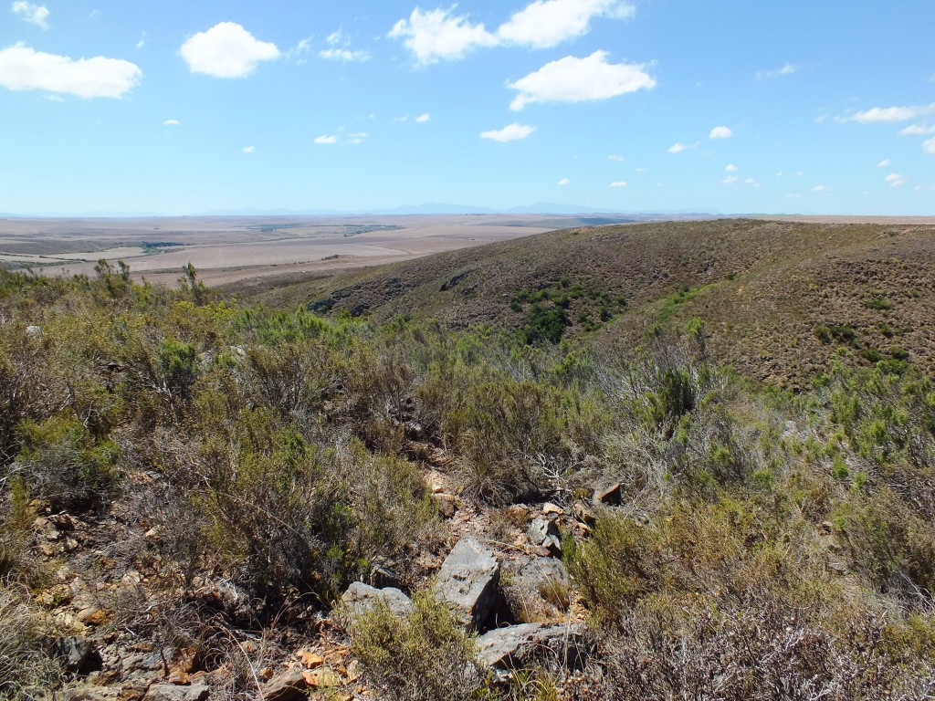
View looking east of north 
7821 habitat viewed from the west. 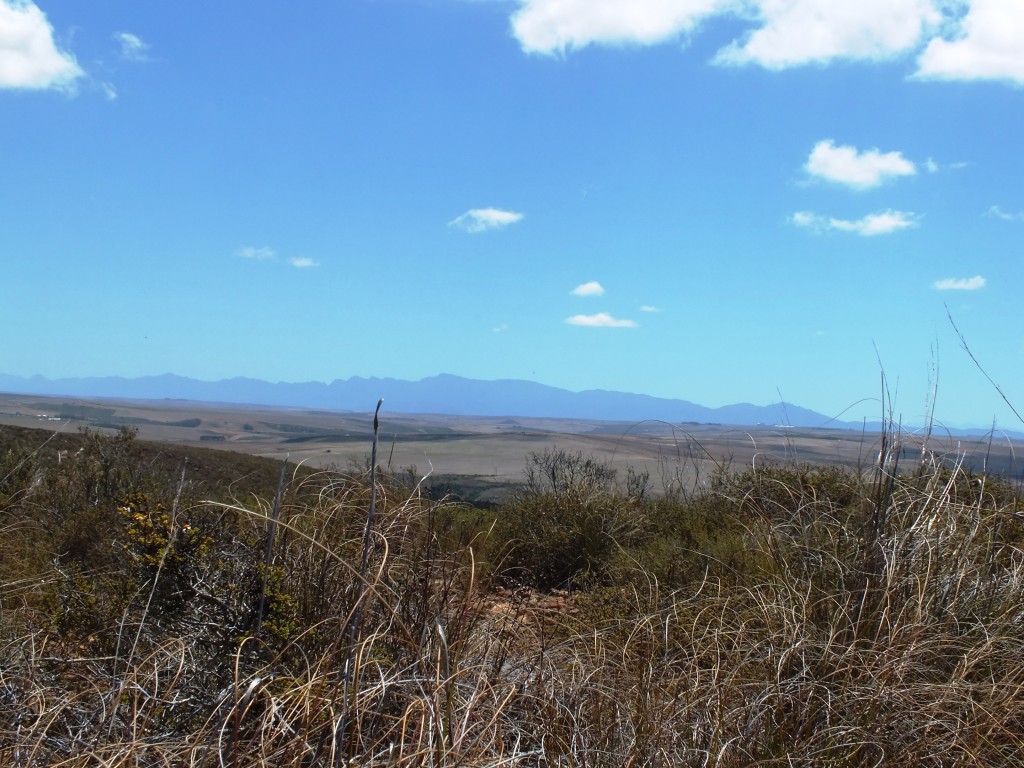
7821 looking northwards 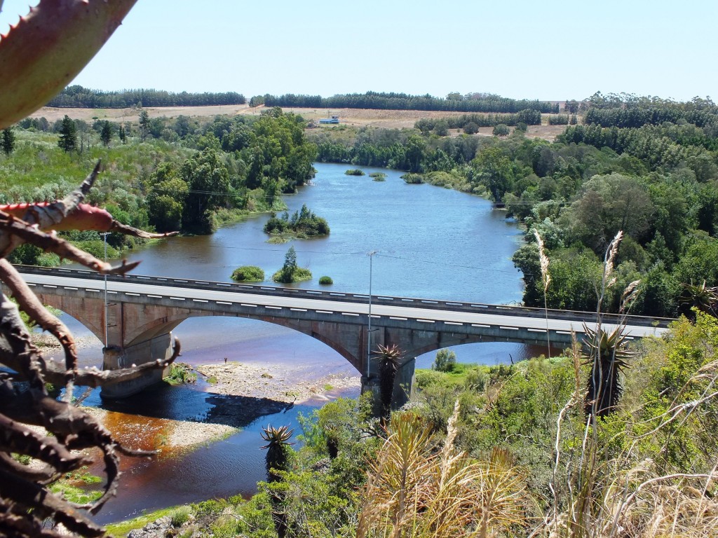
View up stream from 2420 habitat 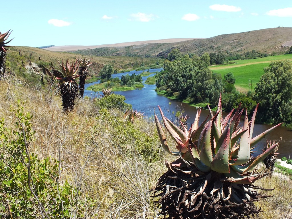
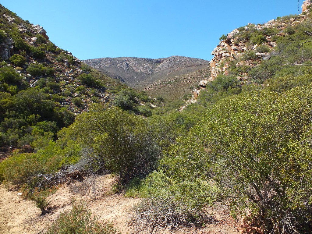
Fig. 3 Below locality at fig 2, southward. 
Fig. 2 Westwards towards homestead. 
The Skeiding homestead 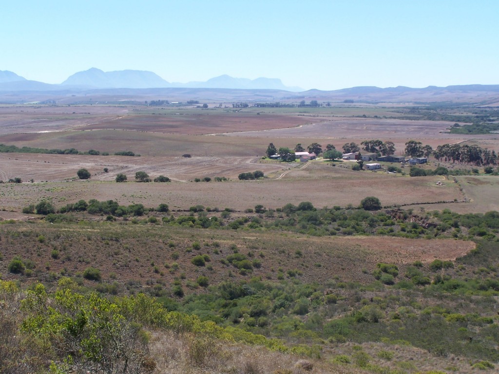
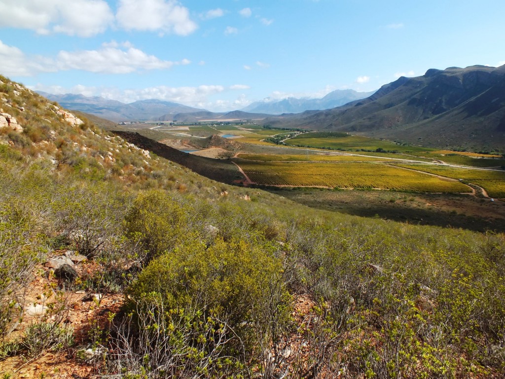
Looking from Swartrug towards Riversdale. 
Looking from Morning Star to Kransrivermond 097 
View westwards to the Kanetvlei 
Habitat H. floribunda. Plaatjieskop. 
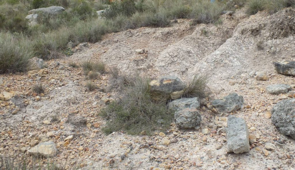
Fig. 14 The typical ‘pressure burst’ of white kaolinic soil from under more solid ferricrete where H. retusa and H. mirabilis are commonly found. 

This is a picture taken from a very late flowering population of H. maculata near Die Nekkies resort south of Worcester. Looking north to where H. maculata grows at about 4000ft on the Audenberg peak, and to the right at about 1000ft in the lower Hex River pass. That is where it occurs close to H. aff nortieri. 
Habitat H. retisa. Plaatjieskop JDV 0711 
Pienaarsrivier – truffeling. 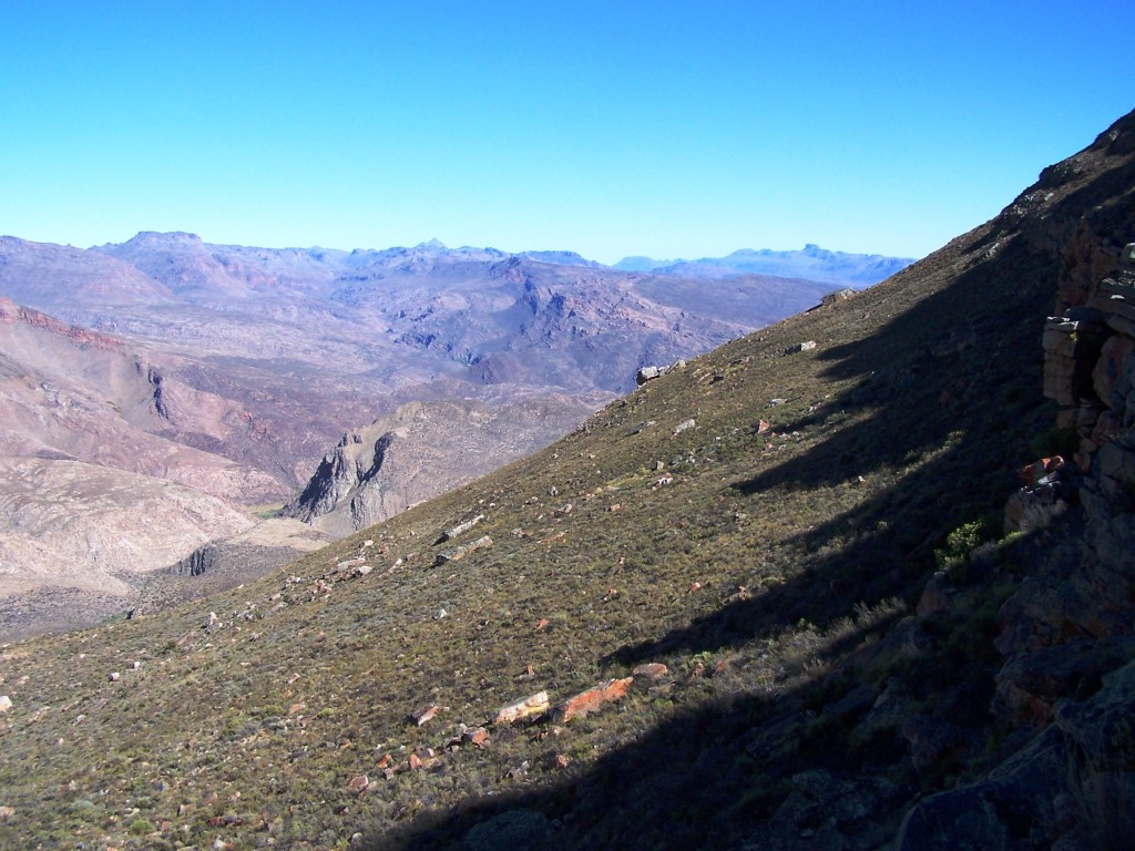
EvJ19550.a Blinkberg. 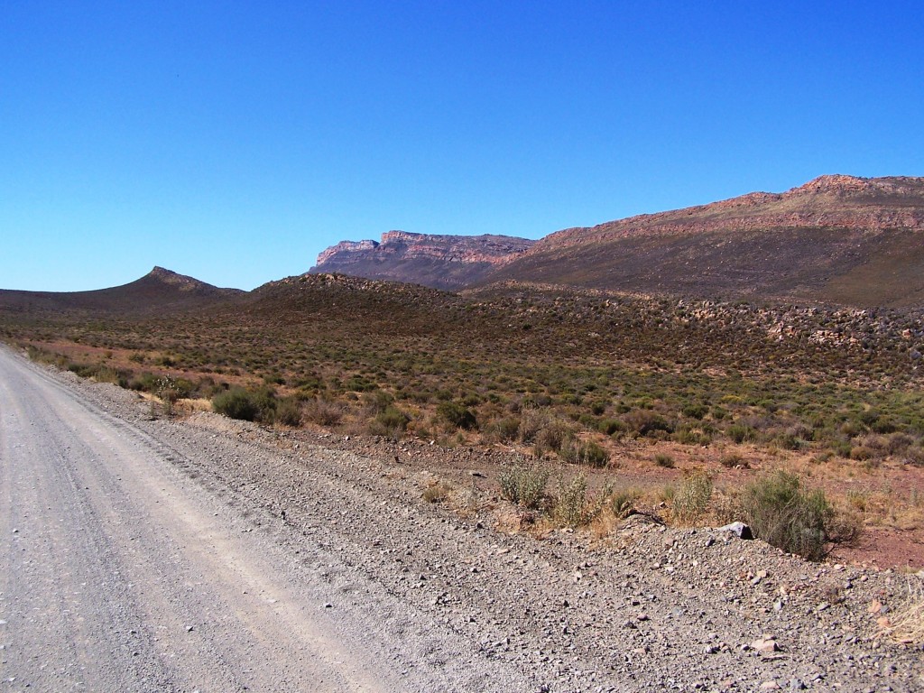
The nortieri plants are just at the small distant upper notch in the sky-line. 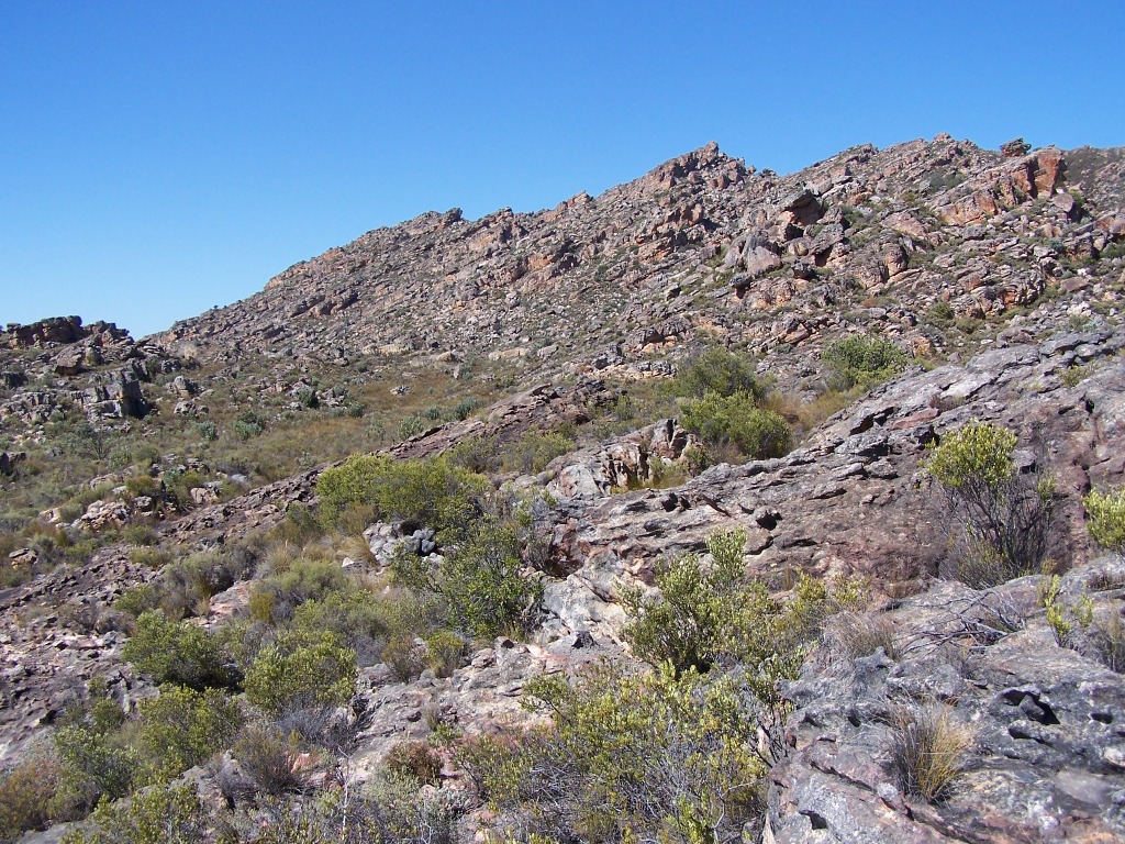
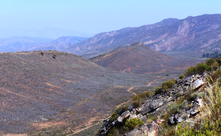
17b. Terrain south of Kunje. 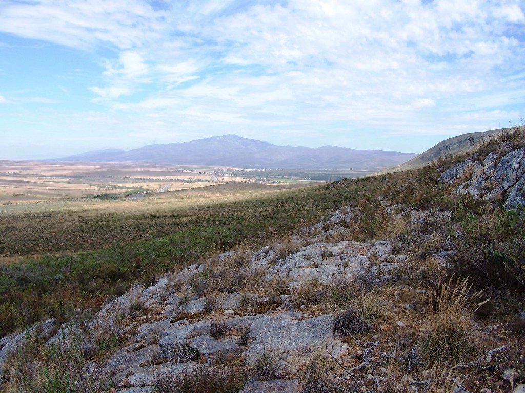
Fig. 8a. Habitat of H. elizeae. Stormsvlei. 
Fig. 8. Habitat of H. elizeae. Stormsvlei. 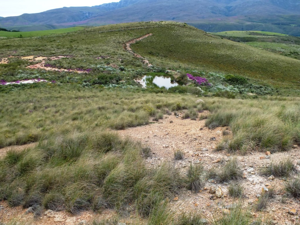
Fig. 106 Silcrete hilltops 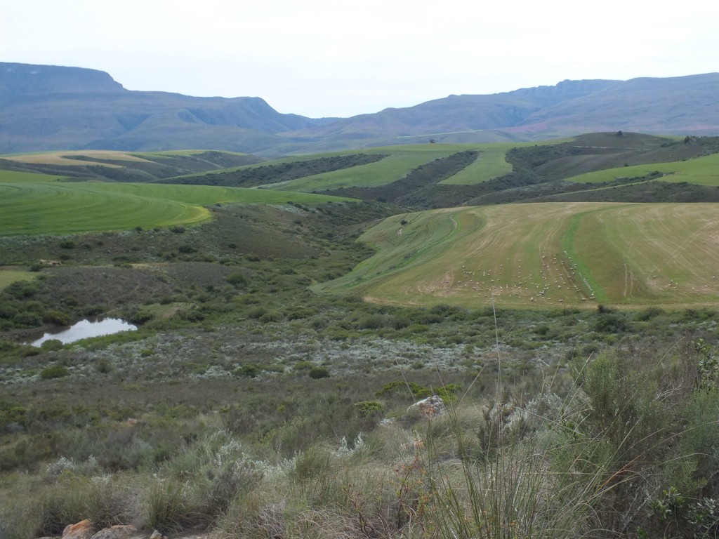
Fig. 90 The countryside looking towards the Tradouw Pass. 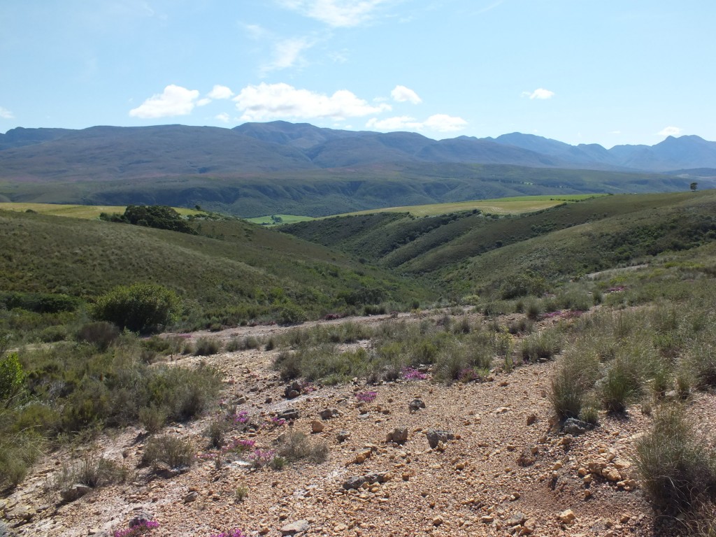
Fig. 2. A photograph of the habitat of MBB7899. 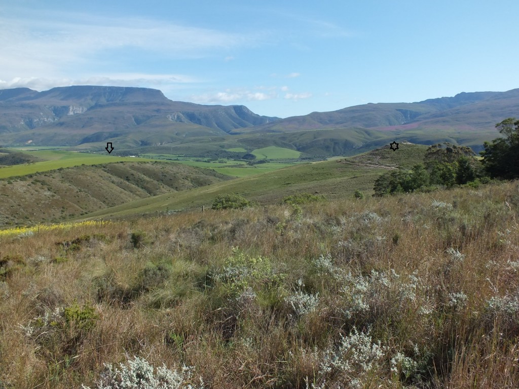
Fig. 1 A view looking north from Heuningklip to Tradouw. MBB6666 at arrow and MBB7899 at 6pt star – b 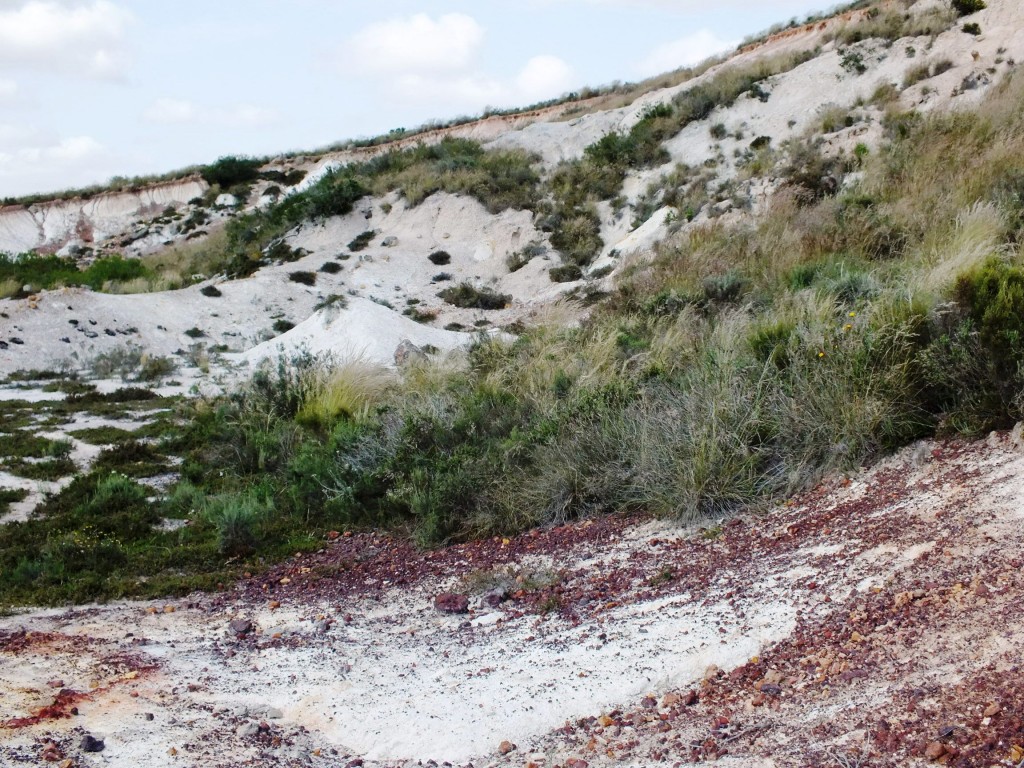
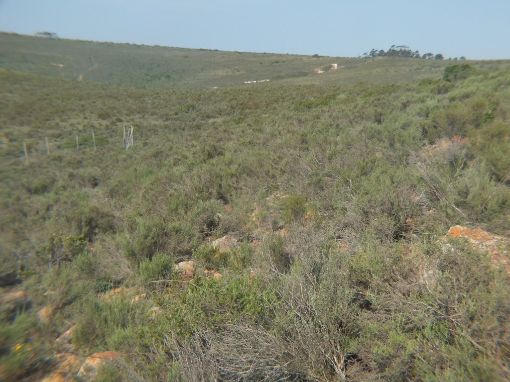
Fig. 49 View from locality MBB7917 to that of MBB 7919. 
Fig. 2 View from locality MBB7914 to Heuningklip. 
Fig. 1 View of locality MBB7914. 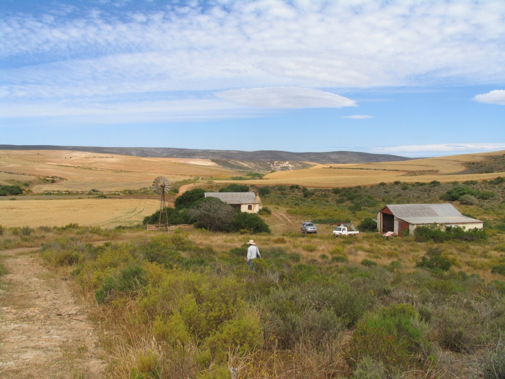
Fig. 27.12 7934 Wolwefontein 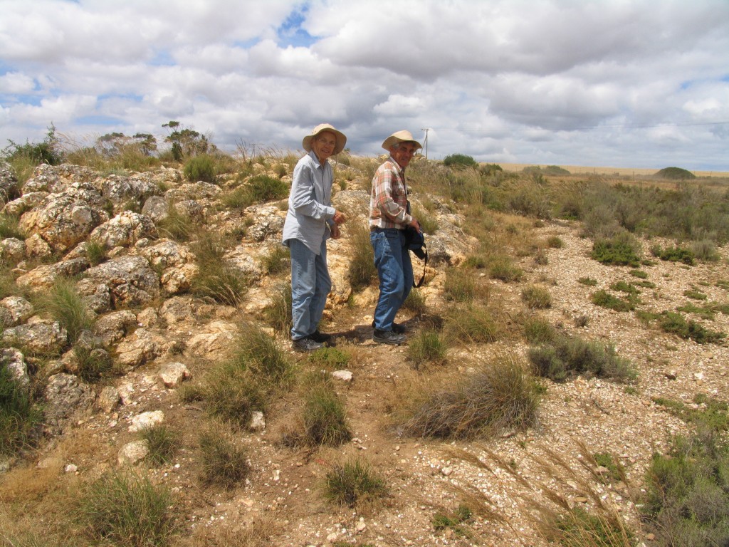
Fig. 25.16 7937 N Platkop SE Langvlei 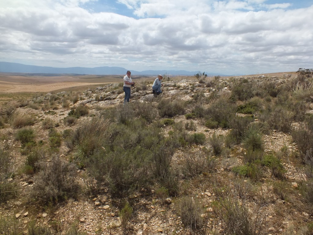
Fig. 25.15 7937 N Platkop SE Langvlei 
Fig. 23.10 7075 View across site. Grootvlakte 
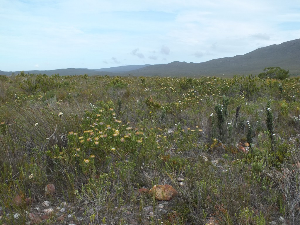
Fig. 23 7938 SE Stoffelsrivier View looking east to Sandhoogte 
MBB7935.12 Langvlei The plants are in a tiny bit of rock just beyond the dumps. 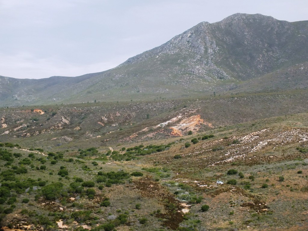
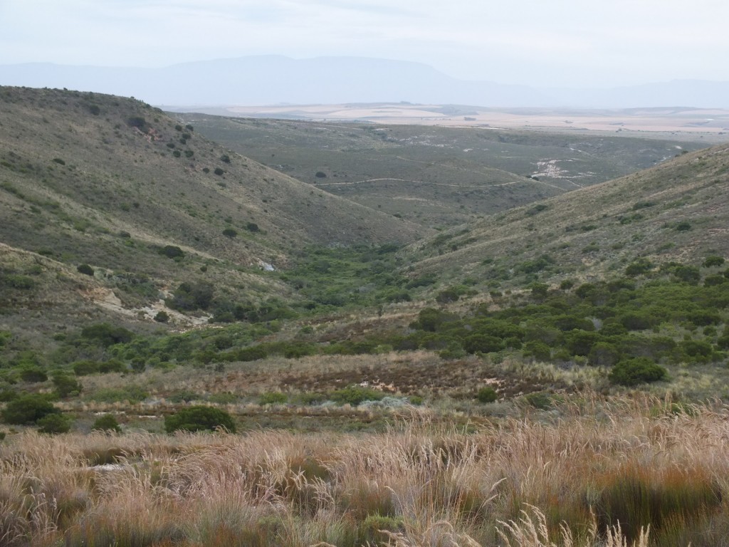
Fig. 14.14 7497 View looking north. 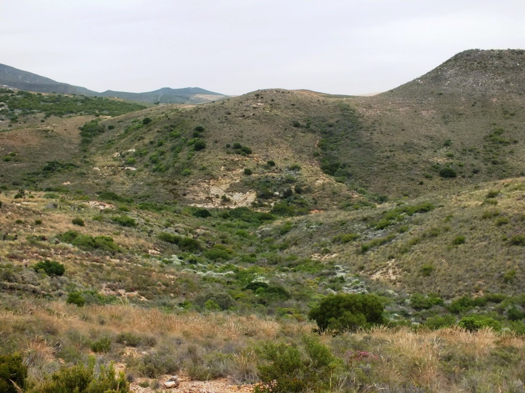
13.22 View looking west to north of Kleinberg. 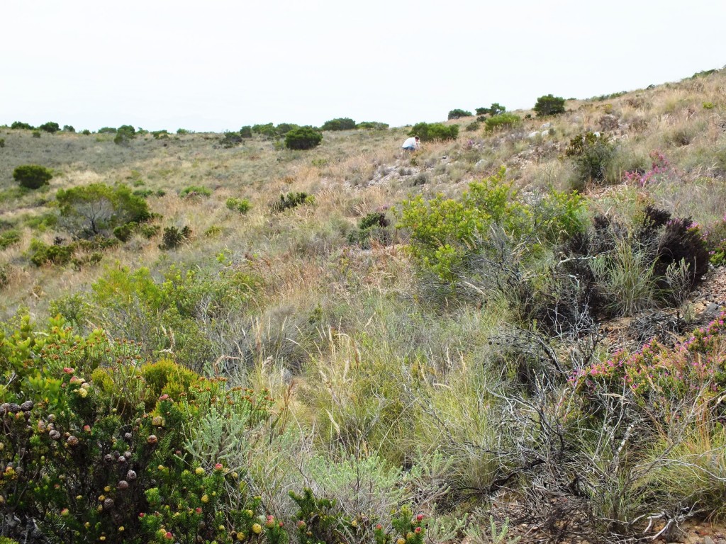
13.21 View overlooking habitat 7496. 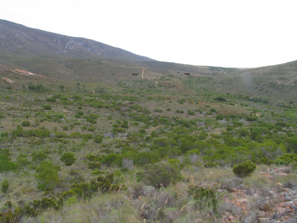
Fig. 6.3 7928 View looking southwest with Kleinberg off to the right. 
Fig. 6.2 7928 View looking east to 7927 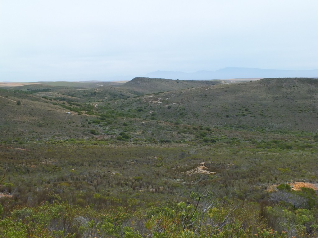
Fig. 3.7 Looking west to the Kleinberg 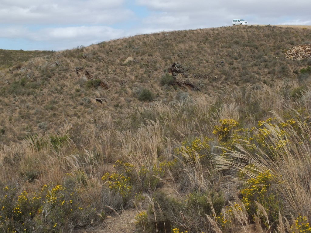
Fig. 80 7945 View lookin across depression to west facing slope 
Fig. 54 7943 View west to farmhouse 
Fig. 45 7941 View east to Die Kop 
Fig. 44 7941 View west to Haarwegskloof 
Fig. 175 JDV92-64 Very localised. 
Fig. 145 View looking northwest to Riviersonderend 
Fig. 131 – 7953 N Klipbankskloof westward view of habitat 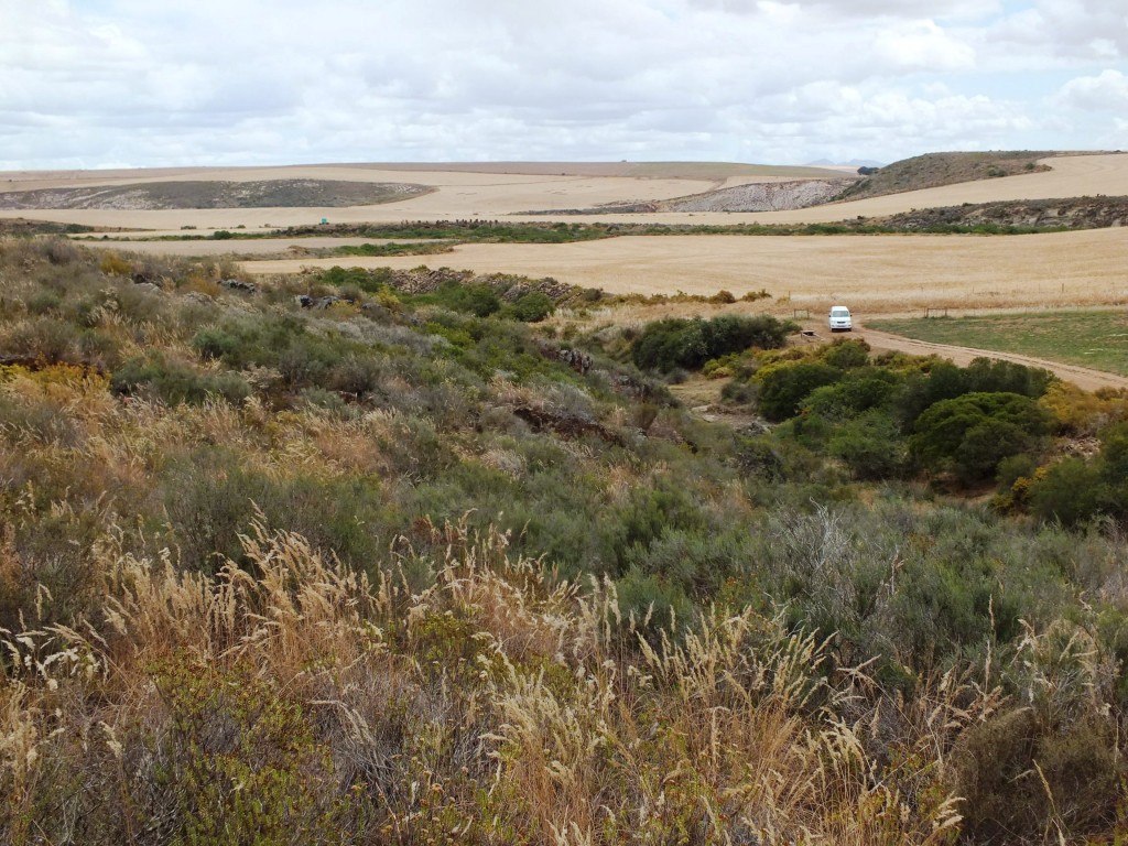
Fig. 130 – 7953 Klipbankskloof West 3 View westwards 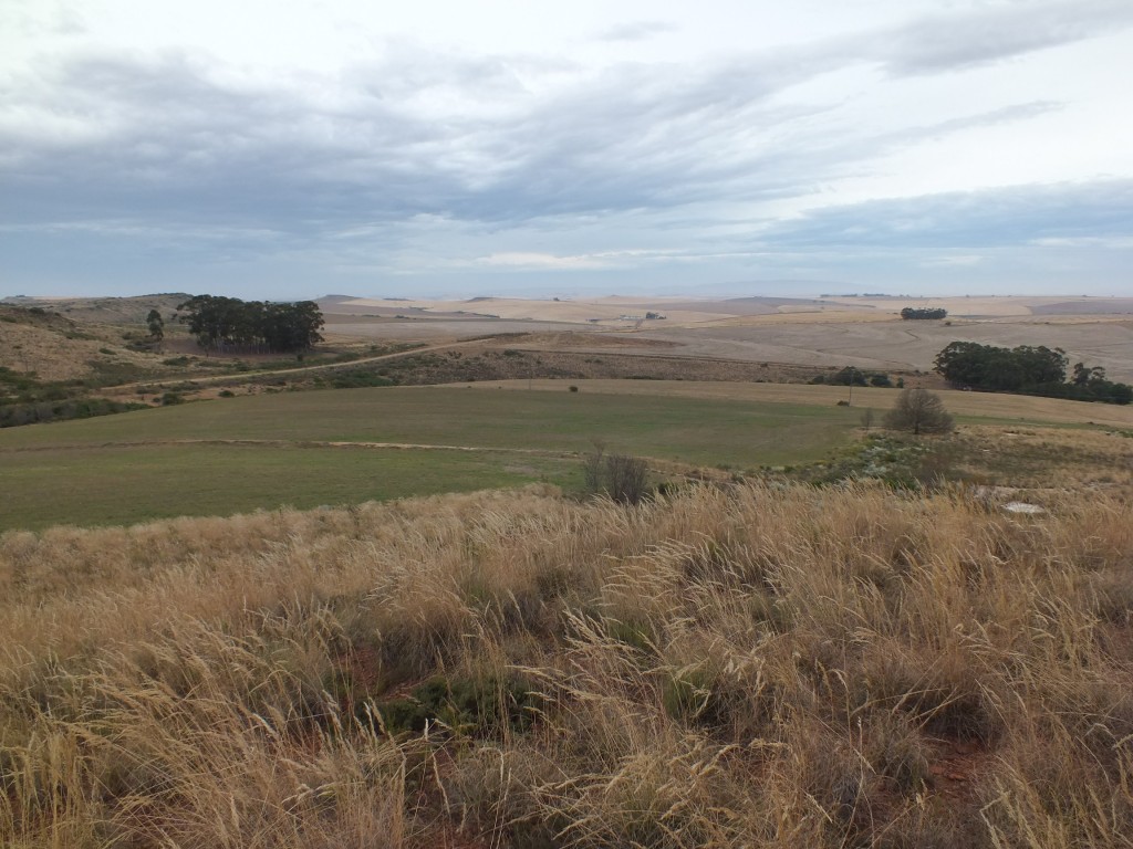
Fig.100 View looking south to Potberg. 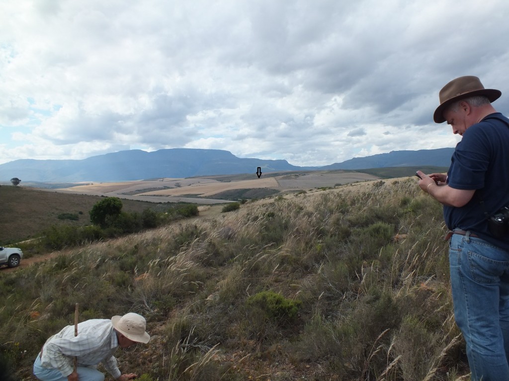
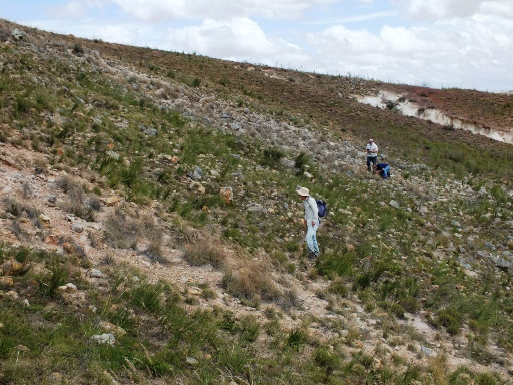
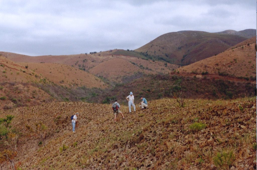
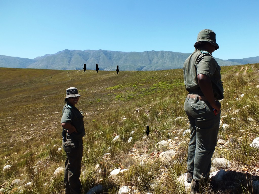
Fig. 52 MBB7958 View to MBB7957 a. Daphne inspecting, Lawrence checking the GPS. 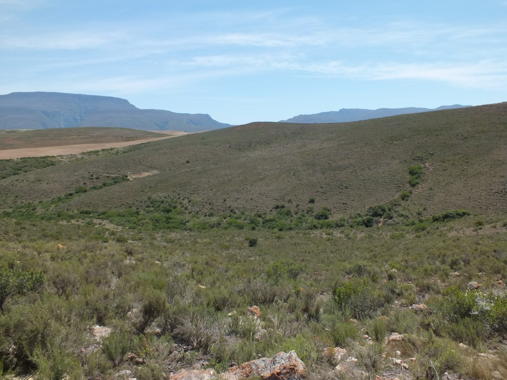
Fig. 35 View looking south to Tradouw Pass 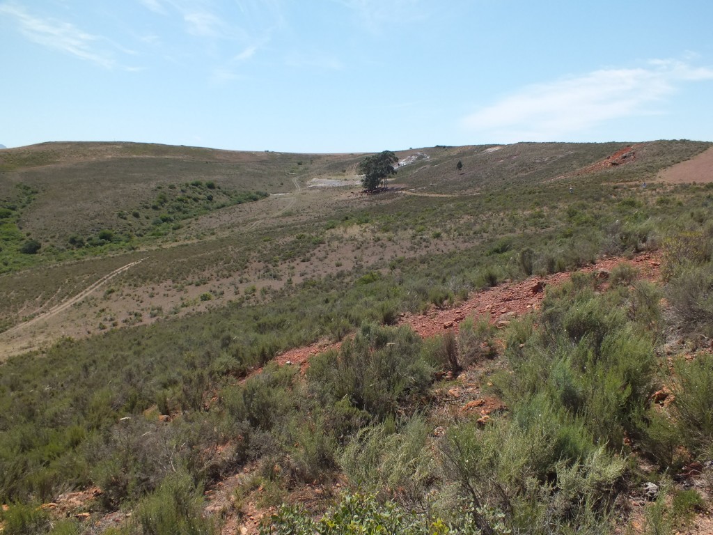
Fig. 12 View looking east to Set 1. 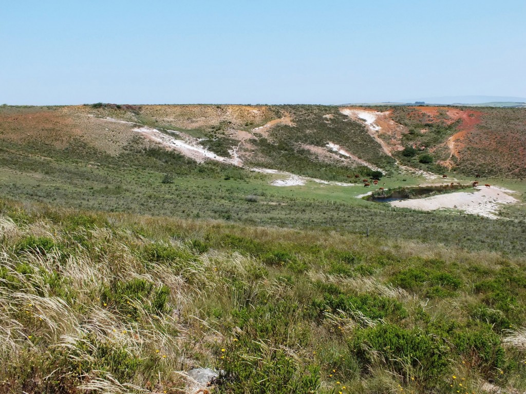
Looking to the previous habitat of larger quartz rock 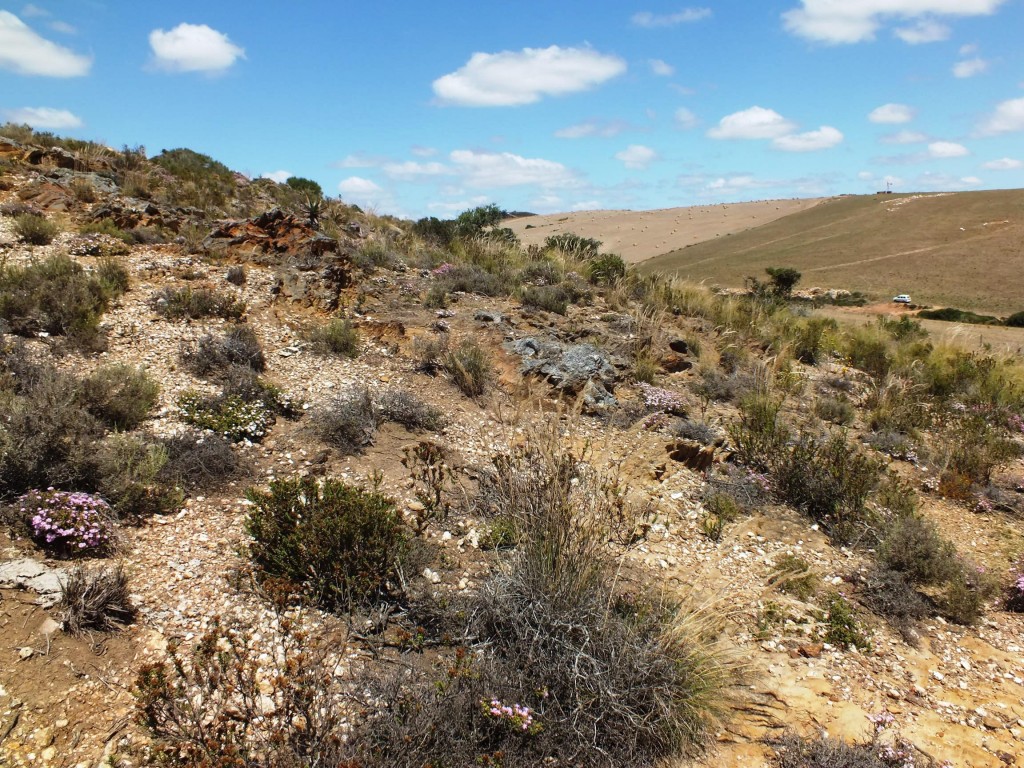
Showing the small shale ridges 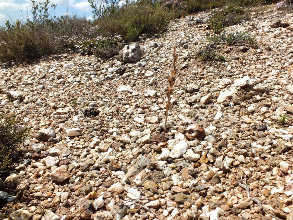
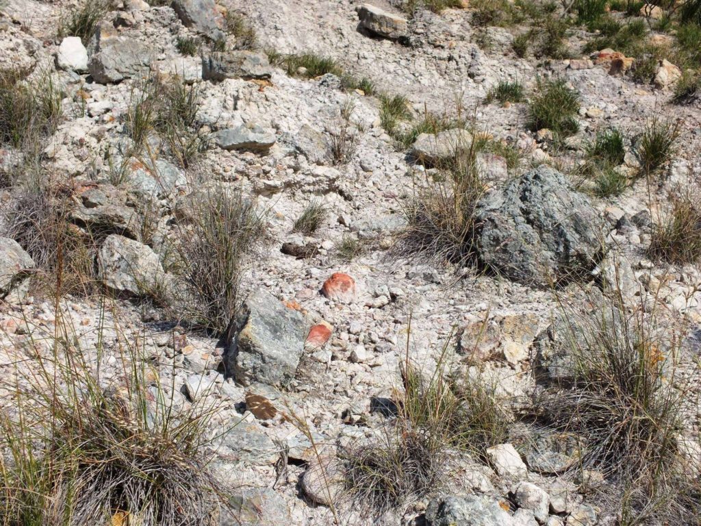
Pebbles and plants present 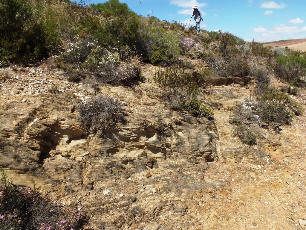
Plants absent 
Viewing site from the north 
Also looking SE towards Die Kop and Potberg 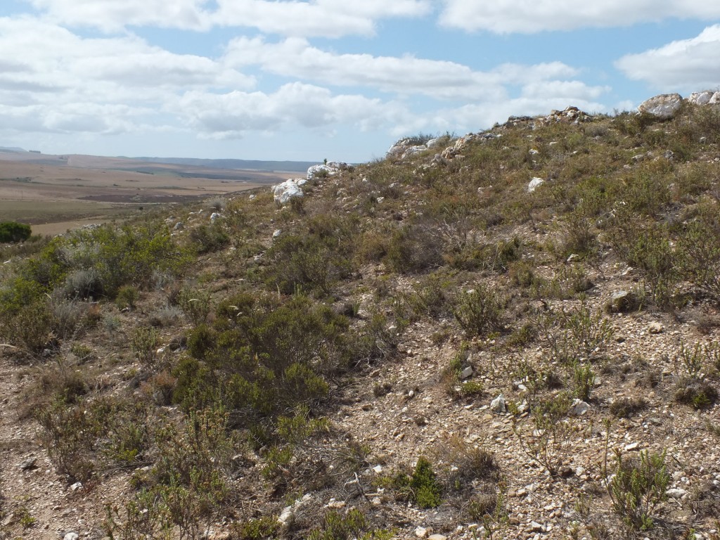
Looking SE towards Die Kop and Potberg 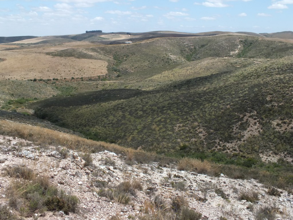
MBB7266 SE Lemoenpoort, view to southwest 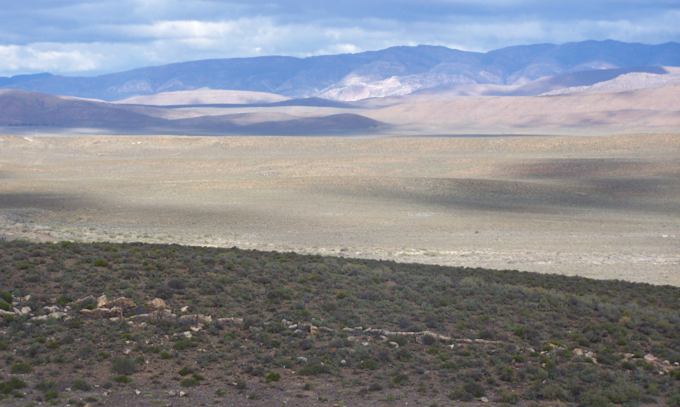
13. A view from south Dwarsindieweg. 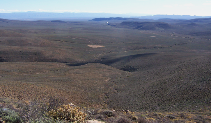
4c. View northwards from Bakoven 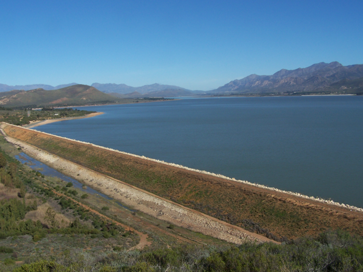
7. View south to Villiersdorp 
6. Near east end with P marking the site of Haworthia pubescens, R indicating Rooiberg to the east 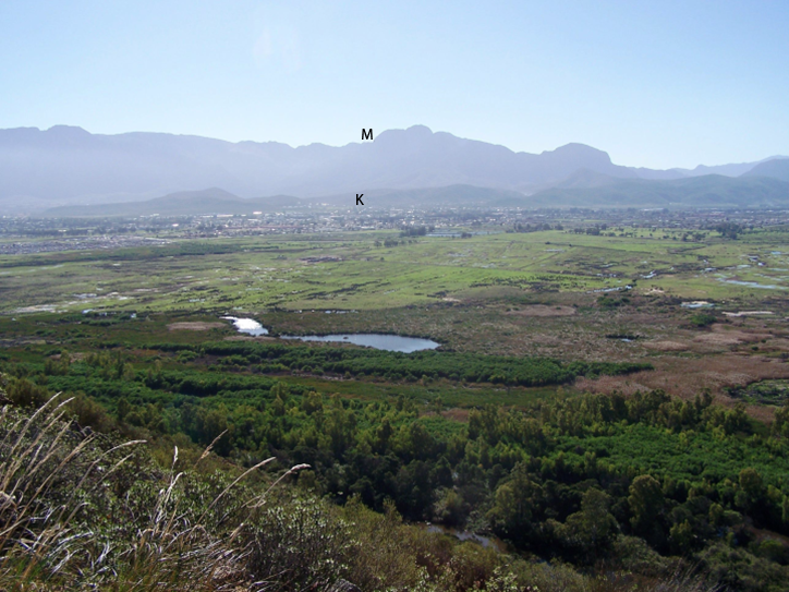
5. Looking north with M marking the location of Haworthia maculata, K – Karoo Garden 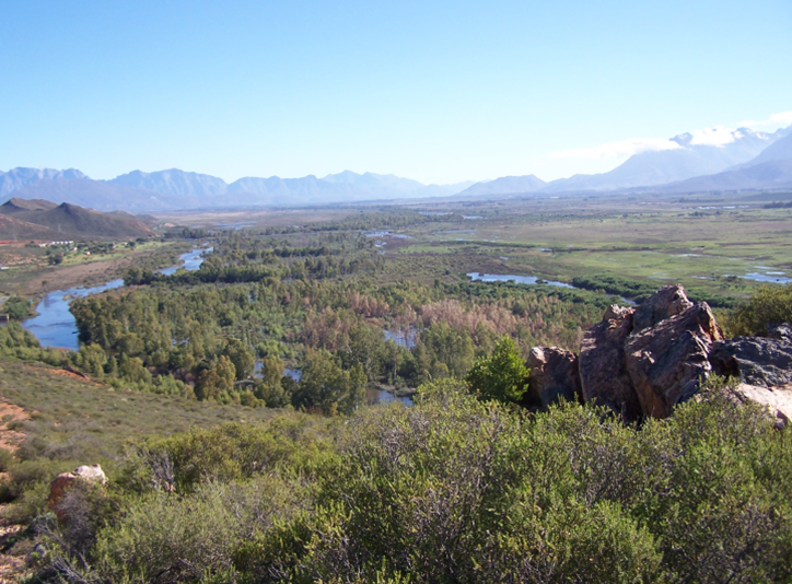
4. Still further east looking west northwest 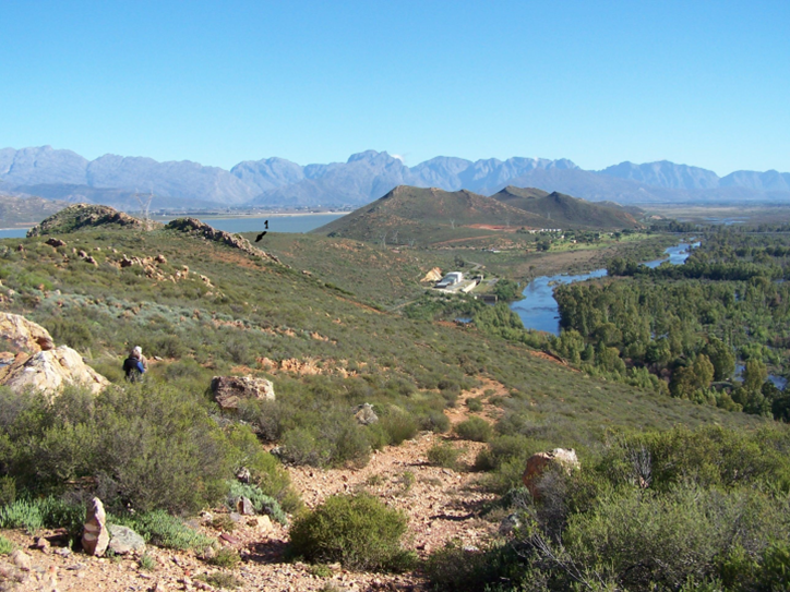
3. Same as figure 1, but from further east 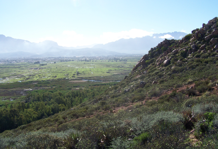
2. Same spot looking east northeast 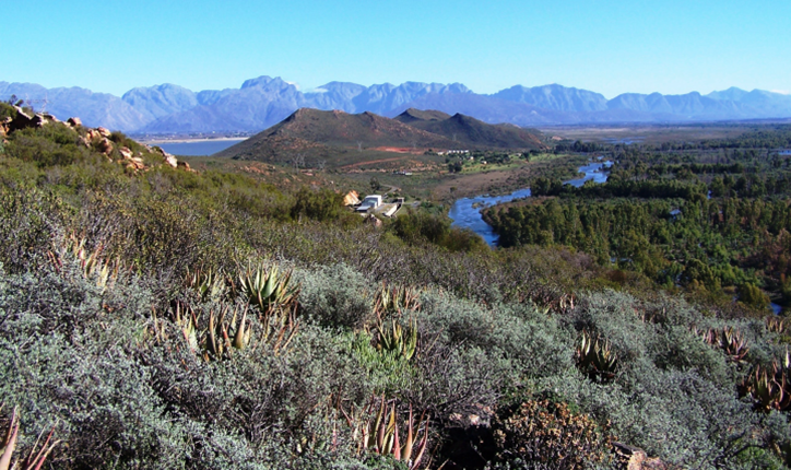
1. Looking down the north face Die Nekkies east to west 
1f. West Muiskraal 
1e. Looking southwest to Garcia Pass from same spot as above 
1d. Looking eastwards over Muiskraal 
1c. View looking west from north Muiskraal 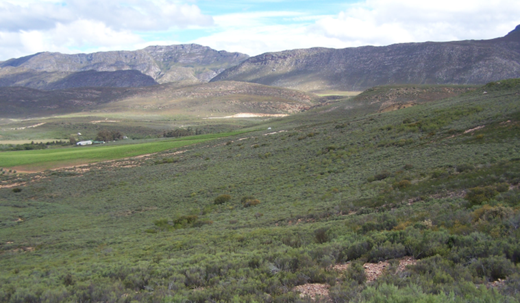
1b. View looking south west over Muiskraal to Garcia Pass 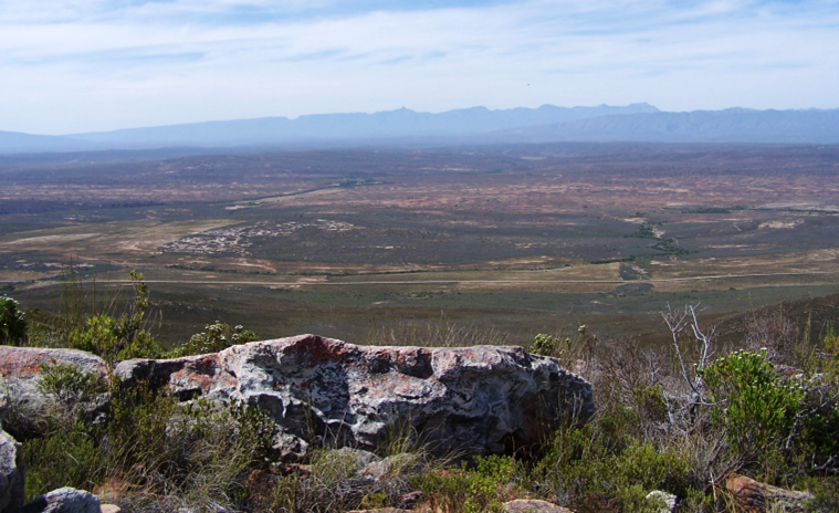
1a.View from above Onverwacht North Westward to Ladismith 
Towerlands Eastward 
Towerlands Westward 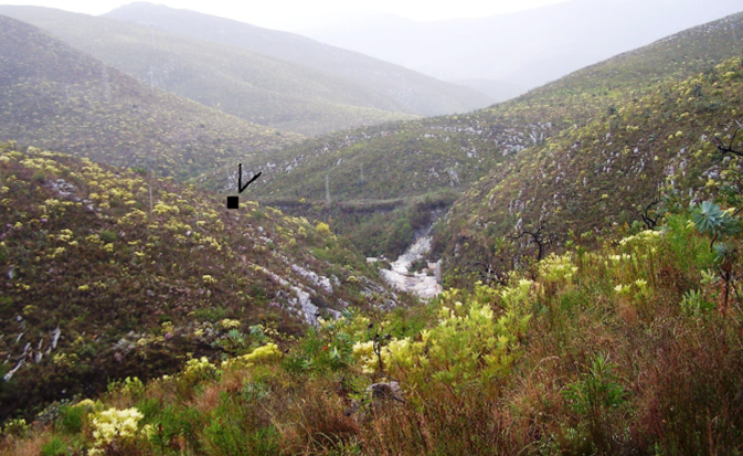
Towerlands 
View from the upper slopes of the Zuurberg at Wilgerfontein, with Darlington Dam just visible in the distance. 
Fig. 8a. Habitat of H. elizeae. Stormsvlei. 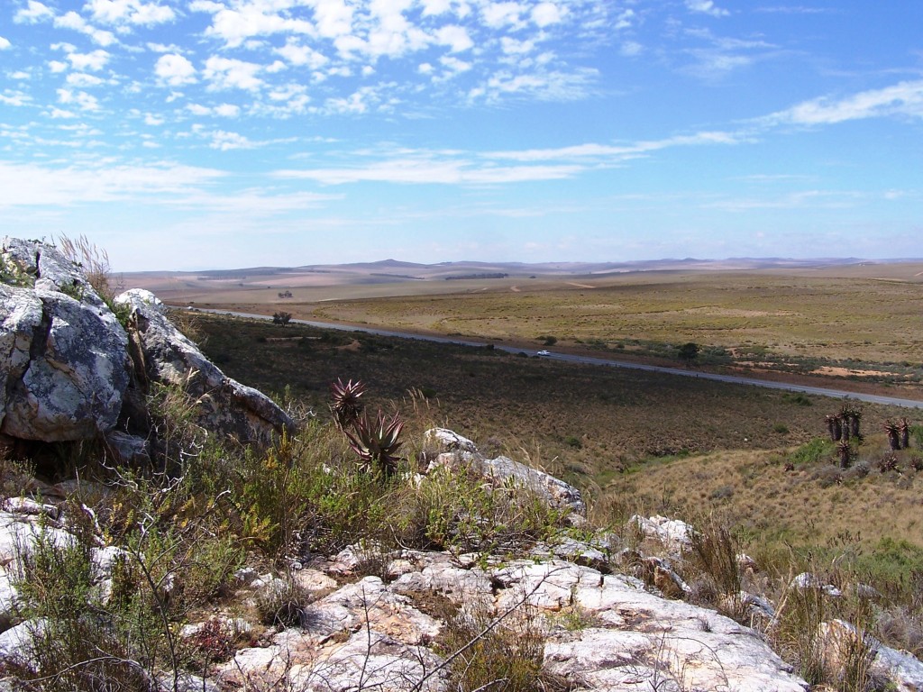
Fig. 8b. Habitat of H. elizeae. Stormsvlei. 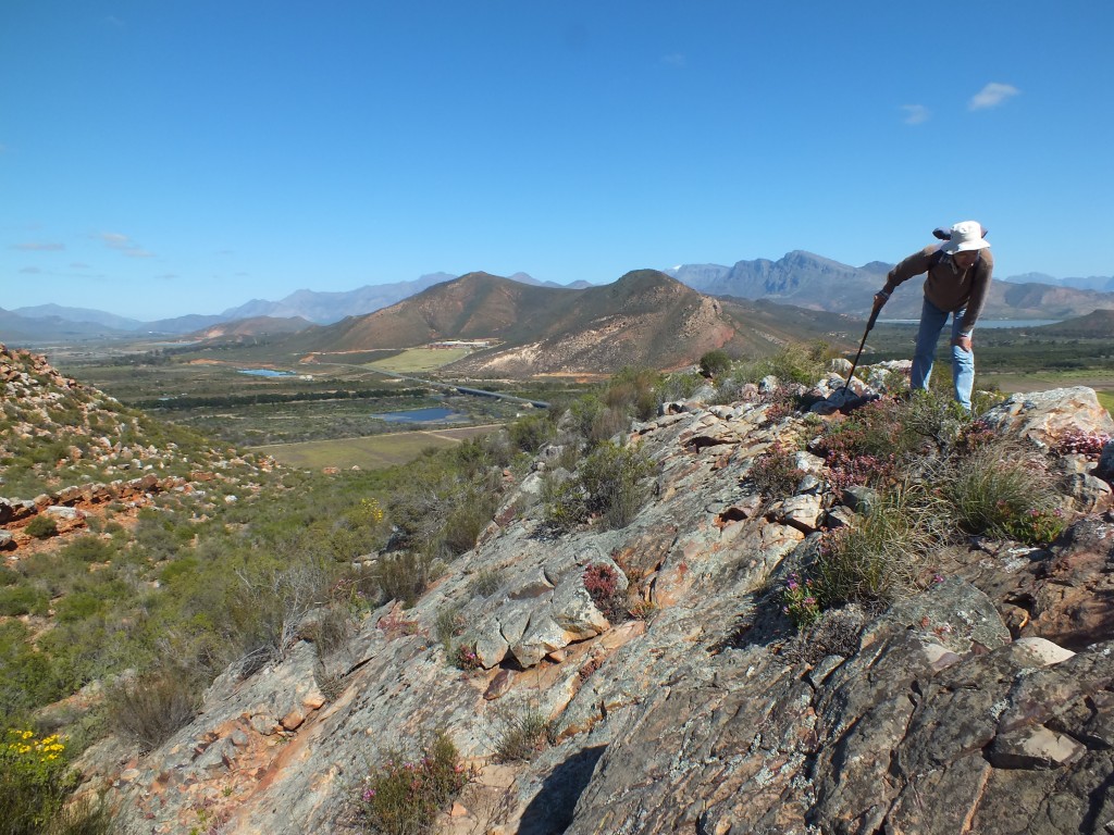
03 . View west of south from Sandberg. 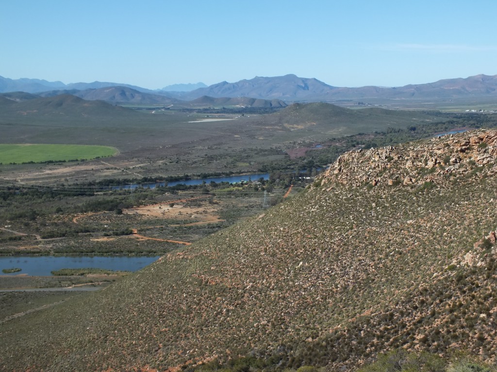
View 2 From Cilmor eastwards. 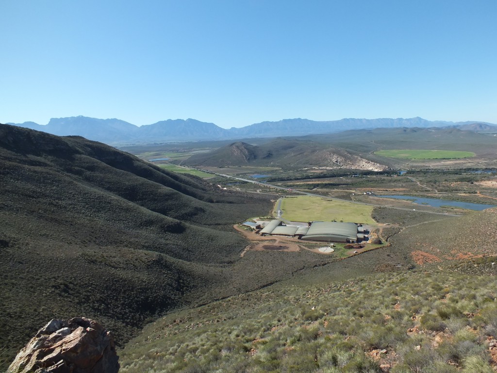
View 1 From Cilmor to the northeast. 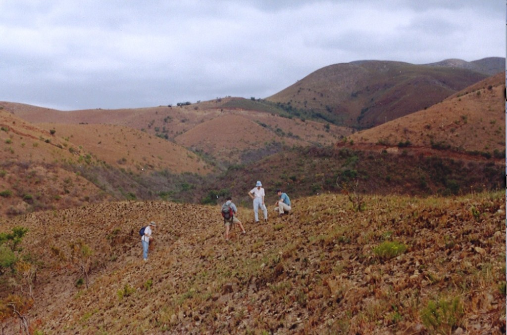
Fig. 43. May’s Mine scene. 
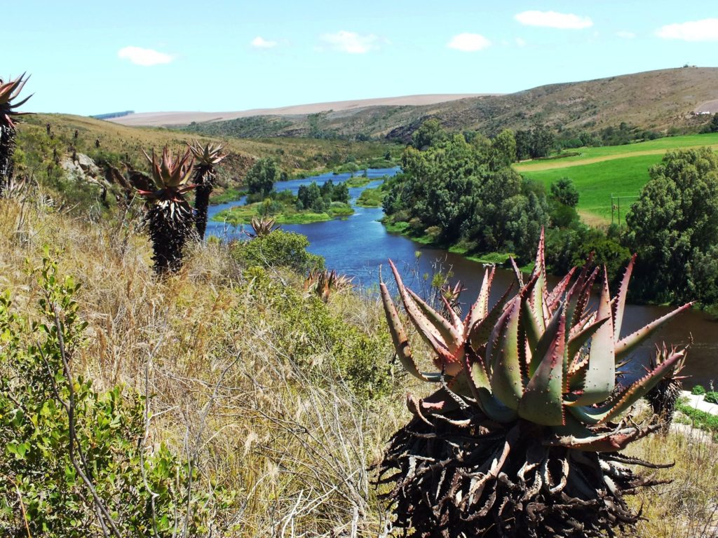
Fig. 4 View to the northwest across the flood plain. 
Fig. 3 View northwest from a central position. 
Fig. 2 Some indication of the topography of the south bank.
Haworthia Updates
Thoughts and observations on the genus Haworthia