8. 2019.05.14 – The Slang River first runs south as does the Duiwenhoks, but instead of going on to the sea, turns westward and enters the Breede River further west. So, we find retusa again near Malgas – further south than my first post. Note I have abandoned using the name “turgida”! This is symptomatic of the whole issue viz. that application of names is so difficult because even in a single population the plants can be so different. Plant geography is interesting here in that Ceropegia (Stapeliopsis) stayneri is only found in its lower reaches. Recent developments in the taxonomy of the asclepiads and the disappearance of many genera is also worth noting.


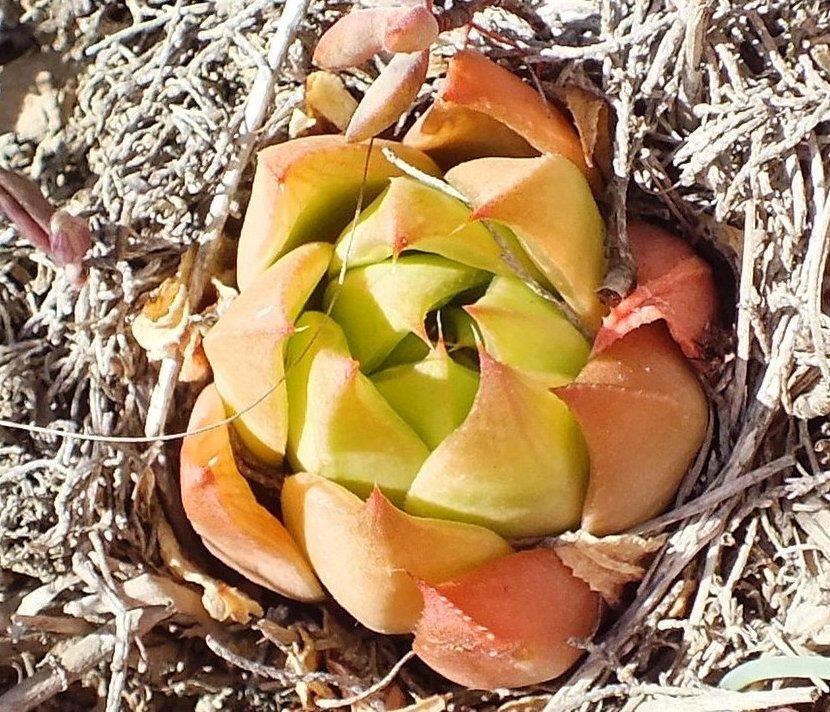
9. 2019.05.15 – It gets exciting for whatever direction one goes. This is to Haarwegskloof where Jannie Groenewald found this namesake. Here we also have H. mutica and H. mirabilis. So, I am trying to explain that they are actually the same species!!! Three posts a day and all my pictures; by the years end you too will concede that they are.
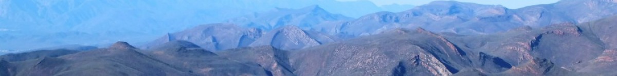
Haarwegskloof is west of the Breede River and it is important to consider the nature of rivers and river systems as they affect speciation. Rivers follow fault lines and other geological features, while haworthias thrive on exposed eroded surfaces and low biomass sites. So rapidly and deeply eroded formations provide different habitats to shallow surface erosion. The immediate river environment results in stepper cliffs and rawer rock. Thus we have the very deeply cut Gouritz river and fairly deeply cut Goukou, Duiwenhoks, Breede and Slang Rivers. West of the Breede we have curious rather shallow valley drainage systems with some water courses barely reaching the sea.


10. 2019.05.15 – Still going further west from Haarwegskloof we come to Rooivlei, N Bredasdorp to the most SW known retusa and we have entanglement supreme. We have various forms of mirabilis, and perhaps rossouwii or variegata while mutica lurks not far away. These last two locations do make it difficult to accept that we are dealing with one species when in fact it suggests that the situation may be far more complicated. But really if one takes the various nodes on river or drainage systems, the situation becomes much more obvious.


Steven Molteno: What I don’t fully understand is how Rooivlei and Haarwegskloof connect to the major river systems to the east. Breede river tributaries maybe?
Bruce Bayer: No, they do not and I don’t think so much significance needs to be attached to this if any. The occurrences of the populations are attached to geographic and geological features so drainage systems are just a weak underlying kind of thing. It is like the role of the Langeberg separating the karoo from the S Cape that also relates to the greater retusa complex and how emelyae emerges as a consequence.
Steven Molteno: Okay thanks Bruce, yes I didn’t see an obvious riverine corridor going there. But then there are several interesting parallels between that area north of Bredasdorp, and (specifically fluvial!) terrains further east. The relevant Haworthias seem to extend here of course, as you point out. In addition, Tulista marginata – usually known from high, eroded fluvial terraces further east (e.g. Die Plotte, Riversdale) or north (Bontebok, Drew, and maybe … overlying the Ashton Enon Formation!) … T. marginata is also on the flat-topped hills N. Bredasdorp, which intrigues me. I even tried to look up whether perhaps a long-dead primeval river might have run past there, before the glacial cycles played havoc with the sea levels! It doesn’t seem so, but who knows.